

Area development can generate large amounts of spatial data, reports and project documentation. Stantec uses a GeoApps-based GIM portal to bring location-based information and documents together, connect them with SharePoint and give teams greater control over who can access what.
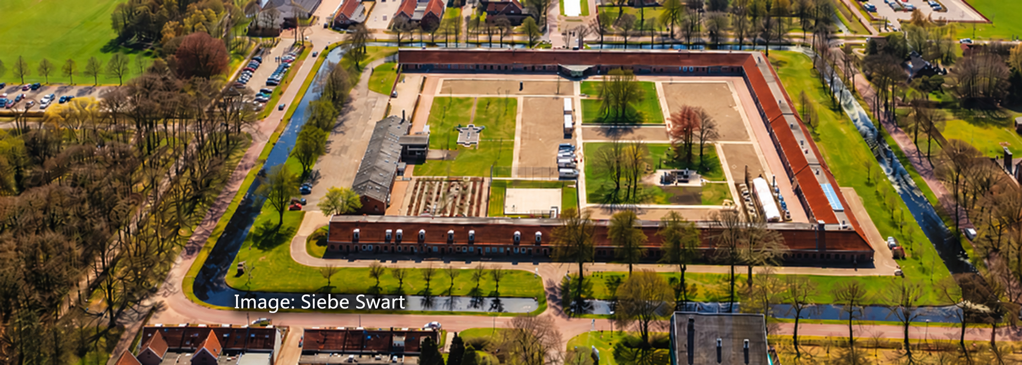
Area development involves much more than drawing boundaries on a map. From soil investigations and environmental reports to asbestos declarations and information needed when plots are transferred or sold, important project knowledge can quickly become distributed across different folders, systems and teams.
For Stantec, therefore, the challenge was not simply to visualise geographic data. The organisation needed a practical way to connect spatial information with the documentation behind it and make that information accessible to the right people throughout the development process.
The answer was a GIM portal built with GeoApps. GIM comes from the Dutch term Gebiedsinformatie Management, or area information management: an approach in which information about a development area is organised around its location rather than being treated as a collection of disconnected documents.
A large development site can involve many disciplines, stakeholders and investigations. As a result, each may produce its own datasets, reports and supporting documents, while different users need different levels of access.
When that information is stored separately, even a straightforward question can become time-consuming. Which investigation applies to this parcel? Is this the latest report? What information has already been collected? And which documents can be shared with a prospective buyer, colleague or project partner?
Stantec’s GIM approach brings that information together around the geography of the project. Instead of relying on users to know which folder or system contains the answer, the map becomes an entry point to the information connected to a specific location. Consequently, users can start with the place they are interested in and move directly to the information that supports it.
The GeoApps environment allows Stantec to combine map layers with project-specific information in an accessible online portal. Users can explore an area spatially and retrieve the underlying information relevant to a parcel, location or development zone without needing specialist desktop GIS software.
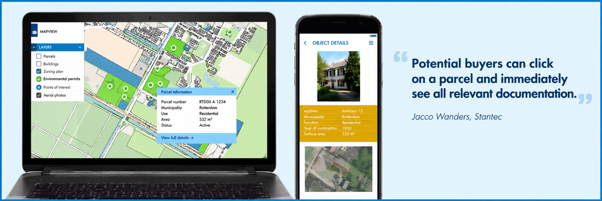
This is particularly valuable when a project contains information from several disciplines. For example, environmental investigations, land information, project boundaries and supporting reports can be viewed in context instead of being handled as isolated files.
Moreover, the result is not simply another GIS viewer. The portal becomes a shared information environment for the development process, helping teams understand what is known about an area and find the supporting documentation behind that information.
A portal only creates value when users can trust the information it presents. Therefore, Stantec connects the GeoApps environment to SharePoint so documents can remain managed in the organisation’s existing document environment while being accessible through the map.
This avoids creating a second, disconnected document archive purely for the GIS application. Instead, when the underlying document is updated, users can continue working with the current information through the portal.
“Documents are always up-to-date thanks to the integration with SharePoint. And the sales team decides for themselves who gets access and which documents are visible.” - Jacco Wanders, GIS Advisor, Stantec
At the same time, access management is just as important as document availability. Not every user or external stakeholder should see the same information. By giving authorised teams control over access and document visibility, Stantec can adapt the portal to the people involved in each stage of a project.
In other words, the portal addresses two related challenges: keeping information current and making sure the right information reaches the right people.
The strength of area information management is that the map is connected to the way the project is actually managed. Spatial information, documents and access rights are brought t ogether so that GIS supports the development workflow instead of becoming another specialist system alongside it.
Stantec has used GIM principles in area-development work for years, including portals associated with developments such as Vliegkamp Valkenburg and HEMbrug. Although individual projects differ, the underlying principle remains consistent: make relevant area information understandable, accessible and connected to place.
For project managers, advisers and commercial teams, this reduces dependence on knowing where individual files are stored. Meanwhile, for GIS specialists, it creates a structured way to make spatial knowledge available to colleagues and stakeholders without giving every user a specialist GIS environment.
As a result, valuable project information becomes less dependent on individual knowledge and more accessible through a shared, location-based structure.
A map can show where something is. However, a GIM portal can also help explain what is known about that location, which documents support that knowledge and who should be able to access them.
Ultimately, for complex area-development projects, that connection between geography, documentation and access can turn GIS from a visualisation tool into part of the information-management process itself.
Working with complex spatial data and project documentation?
GeoApps helps engineering firms, consultancies and public-sector organisations bring maps, data and supporting information together in accessible Web GIS applications. In this way, teams can spend less time searching for information and more time using it within the project.
Let's discuss how GeoApps can help bring your vision to life

Let's discuss your use case.

