

Dutch surveying company FACTO GEO uses GeoApps to share land survey data through interactive online maps. Central client portals connect field measurements with the people who need them for spatial management, planning and project decisions.
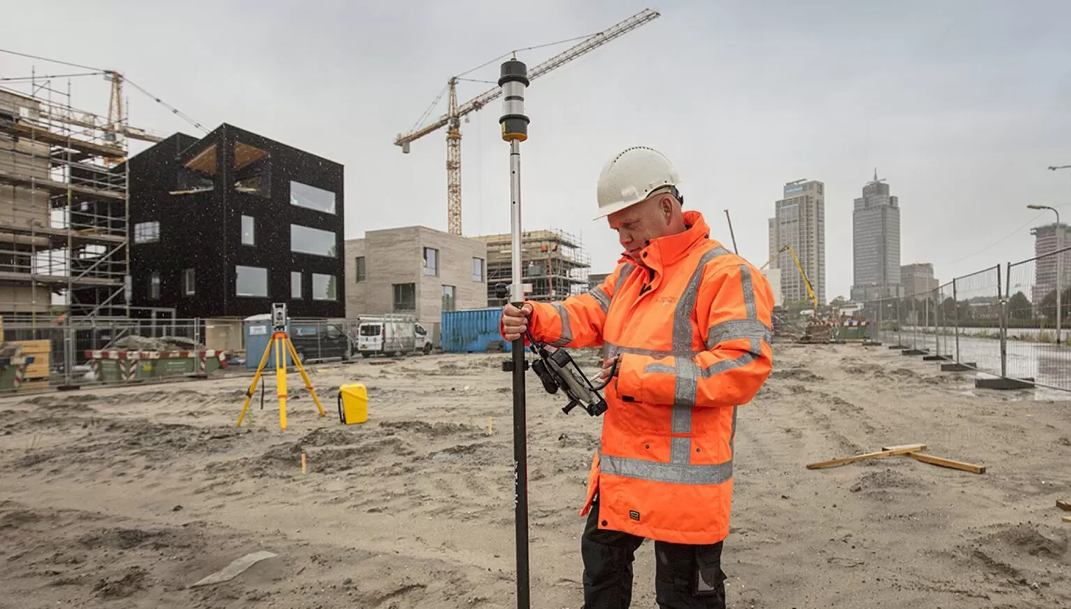
FACTO GEO is a Dutch land surveying and geospatial services company. It carries out land surveys, records changes and collects site observations for municipalities, asset managers, engineering consultancies and other organisations throughout the Netherlands.
Collecting accurate data is only part of the work. Clients also need to understand the results and apply them to their projects. FACTO GEO uses GeoApps to turn survey information into interactive online maps, making it accessible to clients and project teams through a central web environment.
Survey results have traditionally been delivered as CAD files, shapefiles or reports. These formats serve technical users, but colleagues without specialist software or GIS experience may find them harder to explore.
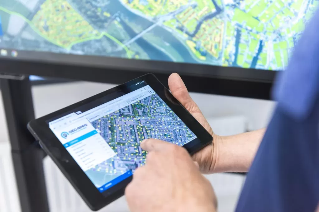
GeoApps provides a central portal where users can view measurements and project information in their geographic context. Combining survey data with aerial imagery and official geographic records helps users understand how individual observations relate to the wider site.
Through this online environment, teams can:
View survey information and site observations.
Record and check changes.
Keep project information together.
Combine measurements with aerial imagery and geographic records.
Consult information from a desktop, tablet or smartphone.
FACTO GEO helps organisations maintain geographic records, including the Dutch large-scale topographic register, BGT, and the addresses and buildings register, BAG. This work involves identifying differences between registered information and conditions on the ground.
With GeoApps, teams can compare records with recent aerial imagery, identify new objects and review changes. Furthermore, departments and external partners can consult the information in a shared environment.
This connects observations collected in the field with the people responsible for checking, updating and using geographic records. It also provides a common reference for discussing which information requires attention.
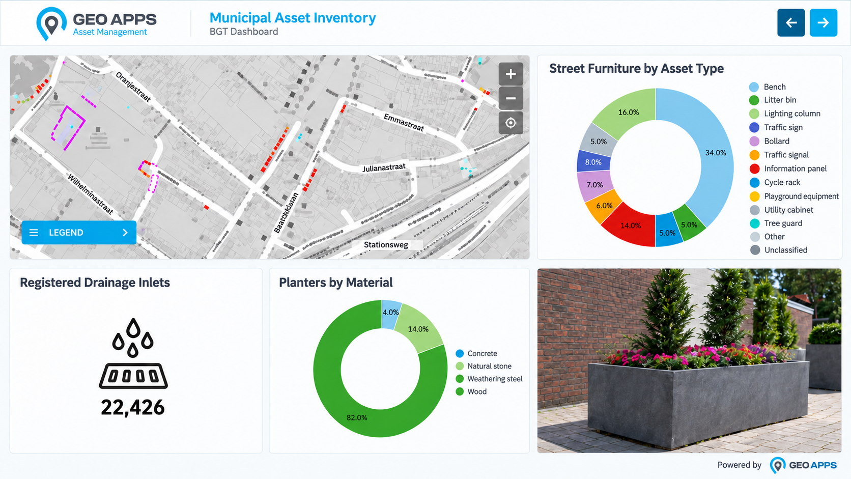
For clients such as Rijkswaterstaat, the Dutch national infrastructure and water management authority, GeoApps brings geographic data, project information and progress together. Users can consult a central map rather than assemble the project picture from separate files.
As a result, field teams, office colleagues and clients can refer to the same locations and information during project discussions. This supports communication about observations, changes and the status of work.
For FACTO GEO, the result is a more accessible way to deliver and share survey information. Measurements become easier to explore in context, supporting their use in spatial management, planning and decision-making.
Make your survey data easier to use
Discover how GeoApps can help your organisation share geographic information through interactive maps and client portals. Contact us to discuss your data, users and project requirements.
Let's discuss how GeoApps can help bring your vision to life
Let's discuss your use case.

