
8 features
Symbology, scale dependency, clustering, labeling, definition queries, SLD import/export.
Symbology, scale dependency, clustering, labeling, definition queries, SLD import/export.
The capabilities below belong to this category. Availability varies by plan; compare subscriptions for exact limits and add-ons.
Style layers using common classification methods: single symbol, categories/unique, graduated/ranges.
Display layers based on specified map scale levels.
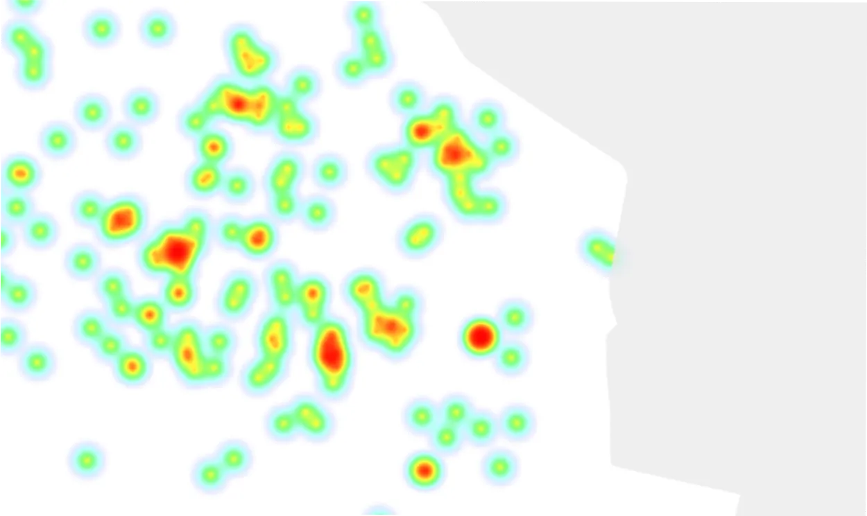
Combine large numbers of point objects into clusters, displayed as combined icons with counts.
Display text labels for map objects based on attribute values.
Create derived layers by applying predefined attribute filters to a source layer.
Import SLD files (e.g. created in QGIS) to visualize map layers.
Create and apply custom SLD files to layers, supporting the full SLD specification.
Export configured layer symbology to an SLD file.
Our team is ready to help you find the perfect solution for your organization.