Open standards and open-source technology are changing what organisations can expect from GIS.
For governments, enterprises and other data-driven organisations, the question is no longer whether GIS is valuable. The more important question is whether the current GIS architecture still provides enough flexibility, interoperability and control. Many organisations have built their geospatial environment around one dominant vendor over many years. That may have worked well in the past, but growing licence costs, specialised dependencies and changing user needs are creating reasons to reconsider whether the existing setup is still the best fit.
Rethinking GIS does not necessarily mean replacing everything. It means evaluating which components still add value, where unnecessary dependencies have developed and where more open technologies could create greater freedom.
Recognise where vendor dependency limits flexibility
A decade ago, organisations often had relatively few practical choices when purchasing enterprise GIS. As a result, entire workflows, applications and datasets were frequently built around a single ecosystem. Over time, this can create dependencies that are difficult to change. Licensing models may become more expensive, specialist knowledge may be concentrated around one technology and integrations may require vendor-specific solutions.
The impact is not only financial. Strong vendor dependency can also make it harder to introduce new tools, respond to changing requirements or give different user groups access to spatial information in the way that suits them best. A useful GIS review should therefore look beyond software functionality alone. Organisations should also consider how easily data can move between systems, how dependent workflows are on proprietary technology and how much control they retain over future choices.
Use open standards to keep data and systems connected
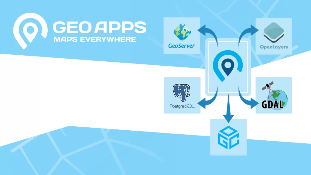
Open standards make it easier for different GIS tools and platforms to work together. Instead of forcing every workflow into one environment, organisations can connect systems according to their strengths. Common geospatial services and formats allow data to remain accessible across desktop GIS, databases, web applications and external systems.
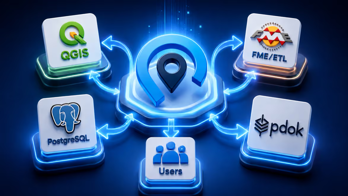
This creates more room to modernise individual parts of the architecture without rebuilding everything at once. An open approach can also help organisations avoid unnecessary data duplication. When applications can connect directly to established sources, teams are less dependent on repeated exports and separate copies of the same datasets. The result is an architecture in which data can remain central while applications evolve around changing organisational needs.
Combine specialist GIS with accessible web applications
Moving toward a more open GIS architecture does not mean specialist desktop GIS becomes unnecessary. GIS professionals still need advanced tools for analysis, editing, cartography and data management. The opportunity lies in separating specialist work from everyday access.
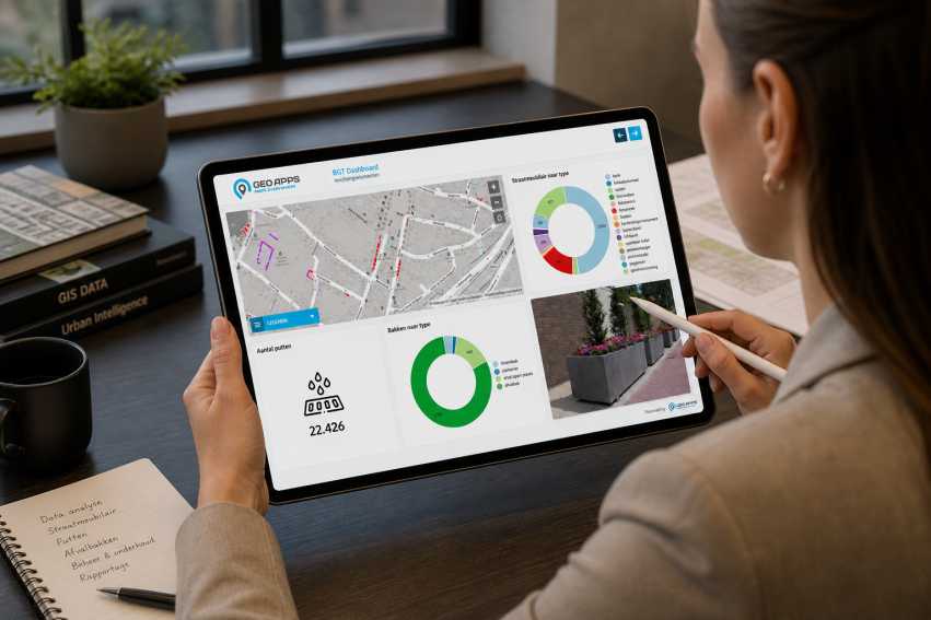
Tools such as QGIS can support technical GIS workflows, while GeoApps can make the resulting maps, datasets and analyses available through accessible web applications for policy teams, project managers, field staff and other users. This hybrid approach allows each technology to focus on the work it performs best. GIS specialists retain advanced functionality, while other employees can access the information they need without working directly in a complex desktop environment. It also reduces pressure to provide every user with the same software, licences and technical training.
Look beyond software costs when assessing your GIS environment
Licence costs are an obvious reason to review a GIS stack, but they are only one part of the picture. The total cost of a GIS environment can also include custom integrations, repeated data exports, specialist administration, user training and the time required to maintain workflows that have become unnecessarily complex.
A useful review therefore asks broader questions. Which licences are actually being used? Which workflows depend on custom solutions? Which employees genuinely need specialist GIS functionality? Where are teams maintaining duplicate datasets because systems are not connected? Which applications could be simplified for everyday users? These questions often reveal opportunities to reduce complexity even when the organisation does not plan a complete platform migration.
Public organisations are already exploring more open GIS architectures
Government organisations and municipalities are increasingly exploring combinations of open-source GIS, open standards and web-based applications. The direction is significant because it shows that GIS architecture no longer has to revolve around a single platform. Organisations can gradually introduce more flexible components while continuing to use existing systems where they still provide value.
GeoApps can, for example, be introduced alongside existing databases, services and specialist GIS software rather than requiring an immediate replacement of the entire environment. This makes it possible to modernise in phases, test new workflows and reduce dependencies without creating unnecessary disruption.
Start with the architecture, not the replacement platform
The first step should not be choosing a new vendor. It should be understanding the current GIS landscape. Map the systems, data sources, applications and user groups that already exist. Identify which components are business-critical, which workflows cause frustration and where unnecessary dependencies have developed.
A practical review can focus on:
current licences and actual usage;
specialist versus everyday GIS users;
authoritative data sources;
existing web services and databases;
manual exports and duplicate datasets;
vendor-specific integrations;
applications that could be simplified;
opportunities to use open standards or open-source technology.
From there, organisations can determine whether specific components should be retained, replaced or complemented by more open alternatives.
Build a GIS environment that can evolve
The strongest GIS architecture is not necessarily the one with the most functionality in a single platform. It is the one that allows the organisation to adapt. Open standards, open-source tools and interoperable web applications create more freedom to change individual components as technology, budgets and user requirements evolve.
GeoApps can form part of that architecture by connecting existing data sources and making spatial information available through targeted viewers, dashboards, fieldwork tools and process-oriented applications. Combined with specialist tools such as QGIS, this creates an environment in which technical GIS and organisation-wide access can coexist. Rethinking your GIS solutions is therefore less about abandoning what already works and more about creating room for what comes next.
Ready to assess whether your current GIS environment still fits your organisation?