Teilen Sie Live-Karten zwischen Polizei, Feuerwehr und GHOR. Sehen Sie Einsätze, Risiken und Objektinfo an einem Ort — vor und während der Lage.
Please accept cookies to play this video

"Mit GeoApps können wir unsere Daten auf benutzerfreundliche Weise zugänglich machen und analysieren. Die Flexibilität der Plattform ermöglicht es uns, schnell auf die Bedürfnisse unserer Organisation zu reagieren."
Mark ten Vregelaar
Datenwissenschaftler (GEO-Spezialisierung)

Über 300 Organisationen vertrauen auf Lösungen von GeoApps für ihre räumlichen Herausforderungen


GeoApps ist der operative GIS-Viewer für Sicherheitsregionen: Echtzeit-Lagebild, IMROI-konforme Objektinformation, 3D-Vorvisualisierung und Risikodaten, mit SSO/SCIM für Polizei, Feuerwehr und GHOR. Kombinieren Sie Hochwasserrisiken, Asbestdächer und Einsatzdaten mit Schräg- und Straßenbildern.
Incidents, Ressourcen and risk data in one operational Viewer. Direct insight into Hochwasserrisiken, Asbestdächer and schutzbedürftige Objekte.
Repressive Objektinformation auf der Karte, aligned with the IMROI data model and your safety processes.
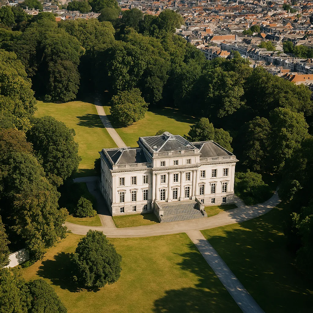
3D Vorvisualisierung, oblique and street imagery to assess scenarios and locations, before and during deployment.
Central GIS Viewer for crisis Management: Einsatzs, Ressourcen, Leitstelle Anbindungen and live layers.

Objektinformation aligned with IMROI (Repressive Objektinformation) auf der Karte, kombinierend with risk and Einsatz data.

3D Vorvisualisierung, oblique and street imagery for exercises, Planung and Lagebild, with SSO/SCIM for multi-agency access.

Datasets and Tools for operational crisis Management:
Insight into flood-prone areas and Wasserstände for effective crisis Management
Registration and Überwachung of Asbestdächer for prevention and risk Management
Identification of vulnerable buildings and objects for preventive measures
Overview of essential Infrastruktur for crisis Planung
Tracking and analysis of Einsatzs for pattern recognition and prevention
Overview of available Ressourcen and their location for rapid deployment
Planning and visualization of Evakuierung routes and shelter locations
Registration and Überwachung of locations with Gefahrstoffe
Integration of Wetter forecasts and warnings for proactive Planung
Insight into Bevölkerung density for Evakuierung and emergency response Planung
Repressive Objektinformation aligned with the IMROI data model auf der Karte
3D scenarios and Vorvisualisierung for exercises and Planung
45° Luftbilder for building and terrain inspection
Street View for validation and Lagebild
Enterprise-Authentifizierung for Rettungsdienste and chain partners
Live Einsatzs, Ressourcen and map layers
Hotspots, patterns and preventive Planung
Pre-visualisation and scenarios
Monitoring of Einsatzs and operational indicators
Entdecken Sie ergänzende Lösungen, die Ihre geospatialen Fähigkeiten erweitern
Bringen Sie Einsätze, Risiken und Objektinfo in einer sicheren Kartenumgebung für alle Rettungsdienste zusammen.


Antworten auf häufig gestellte Fragen zu GeoApps für Sicherheitsregionen.