Water safety and availability at a glance
Drought, flooding and water quality in one platform
Drought, flooding and water quality in one platform. Work with municipalities and partners on integrated water management.

Applications
How DZHK supports your organisation.
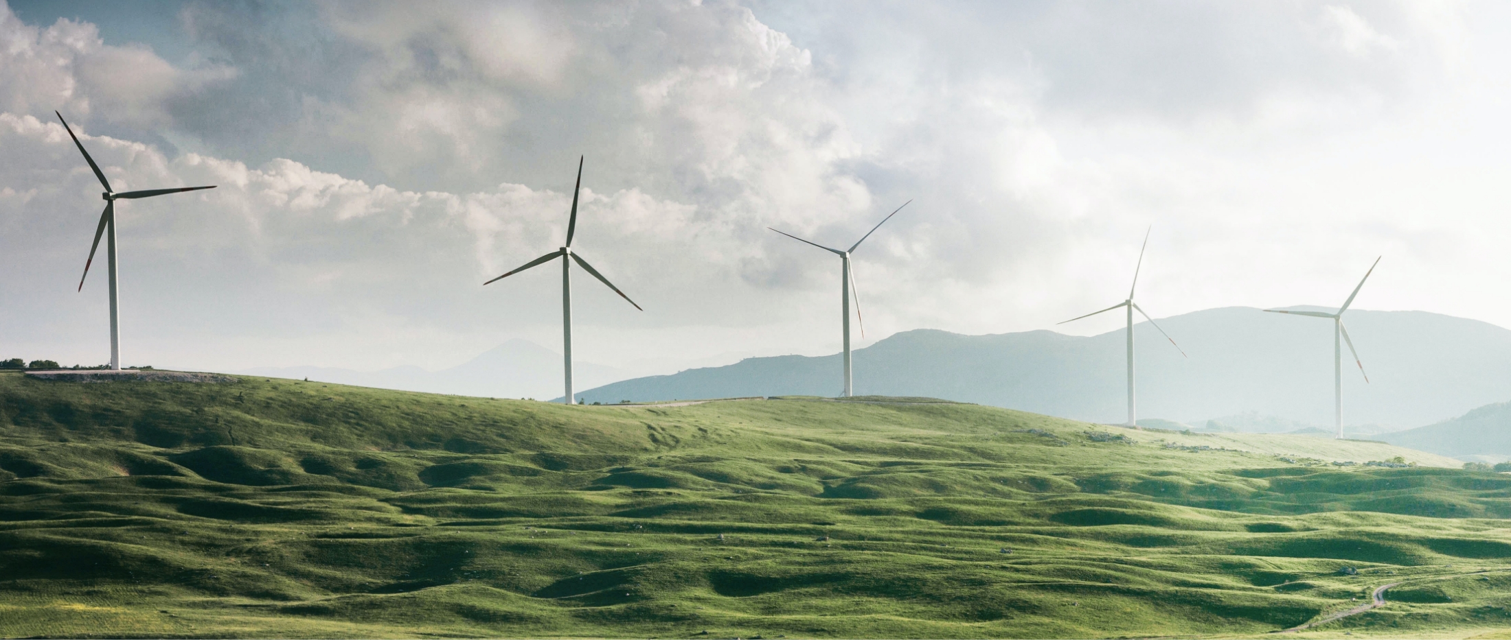
Drought, heat and flooding
Water authorities work on water safety and availability. The Climate Adaptation Monitor maps drought, heat and flood risks per area. Combine with your own water data in GeoApps for integrated water management.
Together with municipalities and partners
Share the same maps and reports with municipalities, provinces and other water partners. No duplicate systems – DZHK fits how you collaborate.
Your own water data in GeoApps
DZHK is built on GeoApps. Add your own GIS data – water quality, water levels, monitoring networks – and combine it with climate and environmental maps. One geo workspace for water management and reporting.
Water safety and availability at a glance
Water authorities work on water safety and availability. The Climate Adaptation Monitor maps drought, heat and flood risks per area. Combine with your own water data in GeoApps for integrated water management.
Request a demoWhy DZHK?
Water at a glance
Drought, flooding and water quality in one platform.
Climate adaptation
Risks and measures for water safety and availability.
Collaboration
Shared data with municipalities and partners for integrated water management.
“Calculations that used to take us a week are now done in minutes. That saves us enormous amounts of time and money.”
Experiences
For water policy officers
As a water policy officer, you can monitor drought, heat and flood risks with the Climate Adaptation Monitor and share maps with municipalities for integrated water management and crisis response.
For water safety project managers
As a water safety project manager, you can combine climate data with your own monitoring data in GeoApps and underpin dike reinforcements and water challenges with up-to-date maps.
Relevant products
These DZHK products match your organisation type.
Climate Adaptation Monitor
Drought, heat and flood risks.
View productHeat Stress Insight
Heat stress and cool spots.
View productSustainability table
Present maps and data for executives and partners, live or online.
View productParticipation & consultation
Engage residents and stakeholders on water and space.
View productGIS & GEO
Sustainability data in your GIS. Integration with GeoApps.
View product
Duurzaamheidskaart products are already used by:
Trusted by municipalities, provinces and organisations in the Netherlands and Belgium


Contact us
Want to know what we can do for your organisation? Contact us for a no-obligation demo. Special requirements? No problem — leave your details below.