






































































Aller au contenu principalAller à la navigation
ExplorerEmploisÀ proposContact
Connexion
MapGear Logo
EmploisActualitésÀ propos de MapGear
ConnexionContact
MapGear, connu via GeoAppsGeoApps
GeoApps Logo
Apps
Solutions
Plateforme
À propos
Obtenir des conseils
  1. Accueil
  2. Ressources
  3. GeoApps vs ArcGIS
GeoApps by MapGear

Guide comparatif

GeoApps vs ArcGIS

Une comparaison pratique de GeoApps et ArcGIS pour le Web GIS : coûts, workflows desktop et accès à l’échelle de l’organisation.

ArcGIS est une pile GIS d’entreprise capable. GeoApps est l’alternative Web GIS européenne pour les équipes qui veulent des standards ouverts, QGIS à côté du web et des coûts prévisibles, sans remplacer le travail ArcGIS Pro là où il reste pertinent.

Demander une démo

Trusted by 300+ organizations for spatial challenges across government, infrastructure, engineering and the built environment.

  • Natuurmonumenten
  • Deloitte
  • Woonbedrijf
  • Regio Stedendriehoek
  • Westerkwartier
  • Waternet
  • Provincie Gelderland
  • Kragten
  • Q-Estate
  • Gemeente Zundert
  • Stantec
  • Duurzaamheidskaart
  • Gemeente Apeldoorn
  • Syntraal
  • Omgevingswarmtekaart
  • Roelofs Lemelerveld
  • Nouryon
  • Dekker Groep
  • Mapification
  • Gemeente Ede
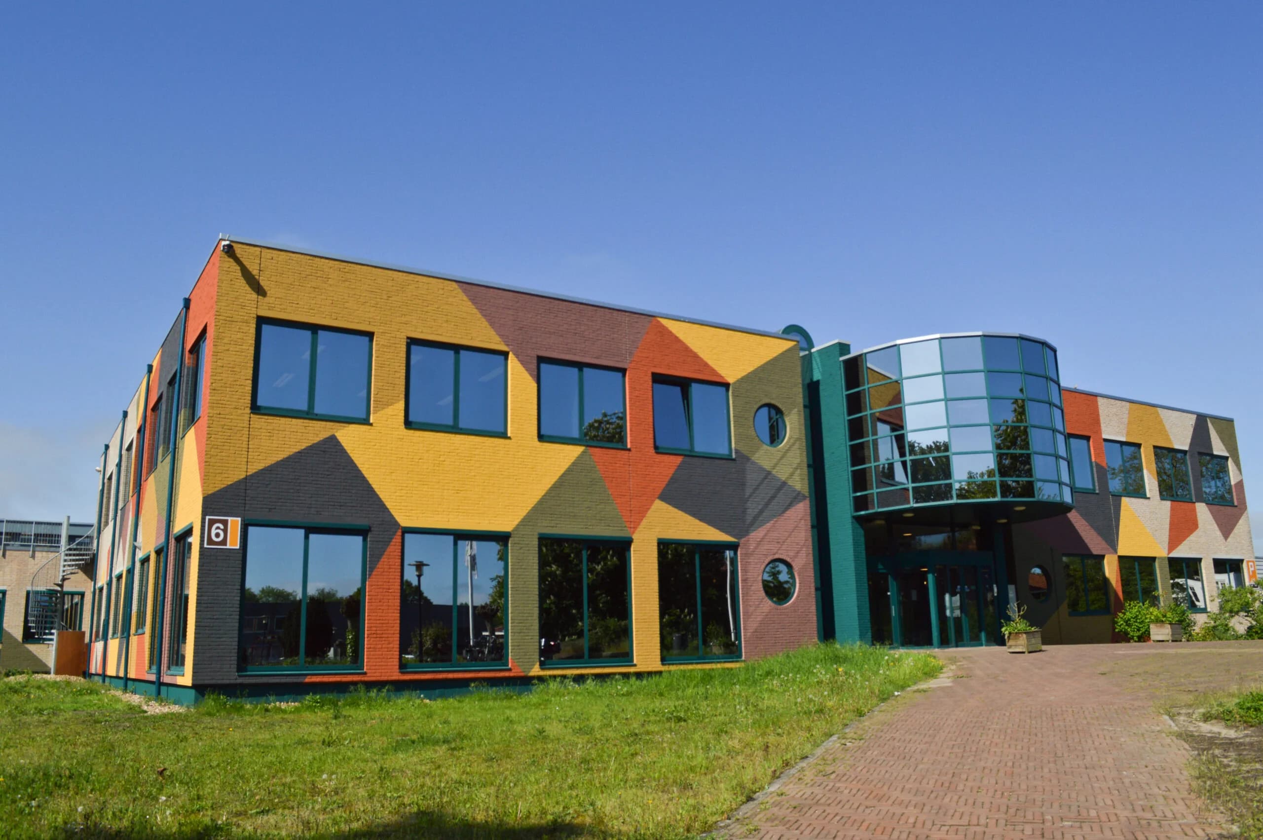
  • Stadscampus De Kien
  • Thius
  • Regio Foodvalley
  • Gemeente Gennep
  • ProRail
  • Van Dun Advies
  • Rabobank
  • Gemeente Maasgouw
  • Gemeente Sittard-Geleen
  • Gemeente Dordrecht
  • Keypoint
  • Stedin
  • Qwello
  • Tauw
  • MapServices
  • TTE
  • Arup
  • Transitiemakers
  • Gemeente Zeist
  • Mateboer
  • Assetmaps
  • Gemeente Haarlemmermeer
  • Collectie Overijssel
  • RVO
  • Natuurmonumenten
  • Deloitte
  • Woonbedrijf
  • Regio Stedendriehoek
  • Westerkwartier
  • Waternet
  • Provincie Gelderland
  • Kragten
  • Q-Estate
  • Gemeente Zundert
  • Stantec
  • Duurzaamheidskaart
  • Gemeente Apeldoorn
  • Syntraal
  • Omgevingswarmtekaart
  • Roelofs Lemelerveld
  • Nouryon
  • Dekker Groep
  • Mapification
  • Gemeente Ede
  • Stadscampus De Kien
  • Thius
  • Regio Foodvalley
  • Gemeente Gennep
  • ProRail
  • Van Dun Advies
  • Rabobank
  • Gemeente Maasgouw
  • Gemeente Sittard-Geleen
  • Gemeente Dordrecht
  • Keypoint
  • Stedin
  • Qwello
  • Tauw
  • MapServices
  • TTE
  • Arup
  • Transitiemakers
  • Gemeente Zeist
  • Mateboer
  • Assetmaps
  • Gemeente Haarlemmermeer
  • Collectie Overijssel
  • RVO
  • Gemeente Rotterdam
  • Lycens
  • Wegenscanners
  • Gemeente Veldhoven
  • Ecogroen
  • Roelofs
  • Aventus
  • KWR
  • Gemeente Voorst
  • Provincie Noord-Holland
  • Gemeente Utrecht
  • Gemeente Deventer
  • FactoGeo
  • Procap
  • Riese & Geurts
  • Gemeente Hengelo
  • Gemeente Wierden
  • CCS Energie-advies
  • Saxion
  • Provincie Drenthe
  • Zone College
  • Arcadis
  • Provincie Overijssel
  • Gemeente Epe
  • Omgevingsdienst Brabant-Noord
  • Provincie Flevoland
  • Omroep Brabant
  • OMWB
  • Tijdlab
  • Natuur en Milieufederaties
  • Royal HaskoningDHV
  • Gemeente Maastricht
  • Nordend
  • Provincie Utrecht
  • Gemeente Groningen
  • Provincie Groningen
  • Satellic
  • PraatMee
  • Aveco de Bondt
  • Gemeente Rijswijk
  • Enexis
  • Gemeente Leiden
  • Gemeente Enschede
  • Gemeente Rotterdam
  • Lycens
  • Wegenscanners
  • Gemeente Veldhoven
  • Ecogroen
  • Roelofs
  • Aventus
  • KWR
  • Gemeente Voorst
  • Provincie Noord-Holland
  • Gemeente Utrecht
  • Gemeente Deventer
  • FactoGeo
  • Procap
  • Riese & Geurts
  • Gemeente Hengelo
  • Gemeente Wierden
  • CCS Energie-advies
  • Saxion
  • Provincie Drenthe
  • Zone College
  • Arcadis
  • Provincie Overijssel
  • Gemeente Epe
  • Omgevingsdienst Brabant-Noord
  • Provincie Flevoland
  • Omroep Brabant
  • OMWB
  • Tijdlab
  • Natuur en Milieufederaties
  • Royal HaskoningDHV
  • Gemeente Maastricht
  • Nordend
  • Provincie Utrecht
  • Gemeente Groningen
  • Provincie Groningen
  • Satellic
  • PraatMee
  • Aveco de Bondt
  • Gemeente Rijswijk
  • Enexis
  • Gemeente Leiden
  • Gemeente Enschede

GeoApps vs ArcGIS

Quand choisir quoi ?

Toutes les organisations n’ont pas besoin de remplacer ArcGIS. Ce guide aide à voir où GeoApps est plus fort, et où Esri reste le meilleur choix.

ArcGIS convient pour:

ArcGIS
  • Grandes organisations d'entreprise avec des workflows complexes
  • Organisations déjà entièrement dans l'écosystème Esri
  • Analyses spatiales avancées et géotraitement
  • Implémentations mondiales nécessitant un support local
  • Organisations nécessitant ArcGIS Pro SIG de bureau

GeoApps convient pour:

GeoApps
  • Organisations recherchant un SIG web moderne
  • Solutions rentables sans verrouillage fournisseur
  • Implémentation rapide et gestion facile
  • Organisations néerlandaises avec support local
  • Intégrations open source et flexibilité
Municipality
City of Rotterdam

Wijkatlas: spatial information for one of Europe's largest cities

Rotterdam selected GeoApps in an RFP with 100+ requirements, instead of continuing with Esri. Wijkatlas now brings district data and maps together across the organization.

“Thanks to GeoApps, we have all data and maps per district in one place. We can immediately visualize and share our urban challenges, making decision-making with colleagues and partners much faster and more transparent.”

Amar Sjauw en Wa

Project Leader District Atlas, City of Rotterdam

Read the Rotterdam case study
Engineering
Stantec

Custom GIS applications built in-house on GeoApps

Stantec built apps such as the GIM portal and Bodemadviseur on GeoApps, with full control over development and rapid adoption by their own teams.

“We wanted control over further development ourselves. With the modular GeoApps building blocks, we built two applications in-house, precisely tailored to users, and our devs picked up the new stack lightning fast.”

Christiaan Jolly

Product Owner, Stantec

Explore custom applications

GeoApps vs. ArcGIS

FeatureGeoAppsArcGIS
Modern Web GIS
Interactive maps & dashboards
Field applications
QGIS integration
Open-source friendly architectureOpen standards and existing toolsOwn ecosystem, with connectors outward
OGC services
Local European supportDepends on implementation
Advanced desktop GISUse QGIS alongside GeoAppsArcGIS Pro
Pricing modelSubscription per environmentNamed users, plus credits for some Online services
Cost predictabilityFixed Web GIS budgetCredits for storage, analysis and premium content can scale with use
License cost profileOften lower for organization-wide Web GISNamed users and enterprise agreements add up quickly
Suitable for gradual migration

GeoApps can serve as an alternative to Esri for organizations like those above, and as a complement to ArcGIS Pro for teams that keep specialist desktop workflows. GeoApps is strongest where organizations want flexible, cost-effective Web GIS and organization-wide access to spatial information without unnecessary ecosystem dependency.

Comparaison des Coûts

GeoApps offre des économies significatives par rapport à ArcGIS, en particulier pour les organisations de taille moyenne.

Choisissez la taille de votre organisation

Click on an option to select your organization size

Comparaison des coûts

ArcGIS

ArcGIS

ArcGIS Online + ArcGIS Pro

Utilisateurs nommés (27 utilisateurs)€3510
Licences ArcGIS Creator (5 éditeurs)€5425
Licences administrateur ArcGIS (2 administrateurs)€4000
Coût annuel total€17,935
Licences ArcGIS Pro Standard (2 utilisateurs)ArcGIS Pro (SIG bureautique) nécessaire pour workflows complets
€5000
Formation & onboardingPour exploiter pleinement ArcGIS Online, ArcGIS Pro (SIG bureautique) est nécessaire. Formation de 3 jours proposée par Esri pour 2 050 € HT.
Inconnu
GeoApps

GeoApps

Plateforme GeoApps + QGIS

€5.988

€499 par mois, abonnement annuel

Abonnement plateforme GeoApps (incl. 20 viewers)€5.988
Licences éditeur GeoApps (5 éditeurs)Inclus
Licences administrateur GeoApps (2 administrateurs)Inclus
Coût annuel total€5.988
Optionnel : Licences QGISUtilisation d'un SIG bureautique open source, incluant le plugin GeoApps pour synchroniser les données vers votre environnement de cartes en ligne.
Gratuit
Formation & onboardingMise en œuvre standard GeoApps (Non inclus dans le calcul). Formation QGIS supplémentaire disponible sur demande via MapGear ou la communauté QGIS.
€1,850

Vous économisez 67% annuellement

C'est €11,947 de retour dans votre budget chaque année

Ces calculs sont des estimations basées sur les prix standard. Contactez-nous pour un devis détaillé.

Chemin de Migration d'ArcGIS vers GeoApps

Migrer d'ArcGIS vers GeoApps est simple avec la bonne approche:

  1. 01

    Export des données depuis ArcGIS

  2. 02

    Transformation et validation des données

  3. 03

    Import dans GeoApps

  4. 04

    Migration des workflows

  5. 05

    Formation des utilisateurs

  6. 06

    Mise en service et support

Architecture hybride

GeoApps et ArcGIS

GeoApps peut s'intégrer à ArcGIS : consommer les services ArcGIS Online et ArcGIS Server (WMS, WMTS, couches d'entités), et publier vers GeoApps pour des applications web rentables. Utilisez ArcGIS Pro pour l'analyse avancée ; utilisez GeoApps pour le partage et la collaboration.

Alternative européenne à ArcGIS
Kragten

“GeoApps is a map viewer without fuss – super simple for end users and yet an extensive management environment for us as specialists.”

“Alongside GeoApps we also use other software; we have the full Esri line in house, including ArcGIS Online. Both packages have their strengths, and we always weigh which environment to use. When we want to publish a map quickly we often use ArcGIS Online. When more is asked of the map viewer, for example extensive user management or specific query or analysis functions, we prefer GeoApps.”

Hugo van Beusekom

Project Manager Geo-data Management, Kragten

Considering an alternative to your current legacy GIS setup?

You do not need to migrate your entire GIS environment to find out whether GeoApps fits. Start by looking at your current architecture, applications, users and ArcGIS dependencies. We can then identify which workflows could move to GeoApps, which specialist tools should remain, and what a practical migration path could look like.

Request a demo Discuss your migration
GeoApps Viewer
Gasfabriek project
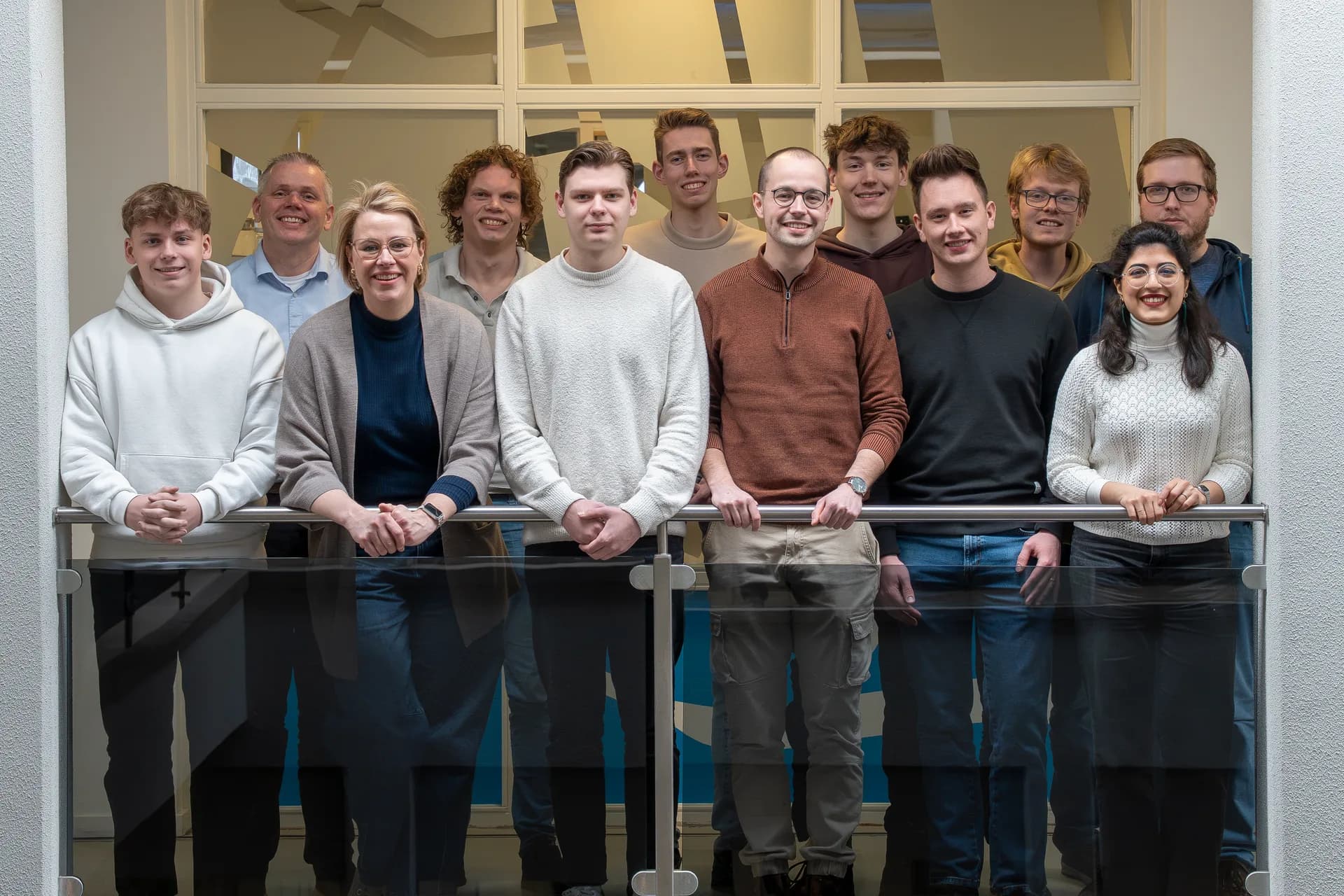
MapGear team office

GeoApps is a product of MapGear B.V., based in the Netherlands. Esri, ArcGIS and ArcGIS Pro are trademarks of Esri. GeoApps is an independent product and is not affiliated with or endorsed by Esri.

Logo GeoApps

GeoApps est la plateforme logicielle leader pour les applications SIG et les données spatiales, permettant aux organisations de prendre des décisions basées sur les données.

Solutions

  • Aménagement urbain
  • Infrastructure
  • Immobilier
  • Environnement & Climat
  • Transition énergétique
  • Sécurité & Risque
  • SIG & cartographie

Produits

  • GeoApps
  • Solutions
  • ESG-Maps
  • MapServices
  • TouchTable
  • Consultation
  • Plateforme

Applications

  • Viewer
  • Dashboard
  • Fieldwork
  • MapTour
  • MapTalk
  • Custom
  • Plugin QGIS

Pour qui?

  • Municipalités
  • Provinces
  • Services environnementaux
  • Ingénierie
  • Entrepreneurs
  • Régions de sécurité
  • Autorités de l'eau

Plateforme

  • Intégrations
  • Documentation
  • Lexique SIG
  • État du système
  • Changelog
  • Support
  • Abonnements

Entreprise

  • À propos
  • Carrières
  • Contact
  • Partenaires
  • Actualités & Blog
  • Événements
  • Études de cas

Rester à jour?

Abonnez-vous à notre newsletter pour recevoir les dernières mises à jour sur nos produits et services. Vous pouvez vous désabonner à tout moment.

Gardez également un œil sur nos réseaux sociaux

Restez connecté avec nous via nos réseaux sociaux et recevez les dernières mises à jour sur nos produits et services.

Qualité & confiance

MapGear est certifié ISO 9001 et ISO 27001 et répond aux normes de qualité et de sécurité les plus élevées pour nos produits et services.

ISO 9001 Certificering
ISO 27001 Certificering
QGIS Membership 2026
© 2026 MapGear B.V. Tous droits réservés.
Conditions généralesPolitique de confidentialitéDéclaration de durabilité