Partagez des cartes en direct entre police, pompiers et GHOR. Voyez incidents, risques et infos objets au même endroit — avant et pendant l'intervention.
Please accept cookies to play this video

"Avec GeoApps, nous pouvons rendre nos données accessibles et les analyser de manière conviviale. La flexibilité de la plateforme nous permet de répondre rapidement aux besoins de notre organisation."
Mark ten Vregelaar
Scientifique des données (spécialisation GEO)

Plus de 300 organisations font confiance aux solutions de GeoApps pour leurs défis spatiaux


GeoApps est la visionneuse SIG opérationnelle pour les régions de sécurité : conscience situationnelle en temps réel, informations d'objet conformes IMROI, prévisualisation 3D et données de risque, avec SSO/SCIM pour police, pompiers et GHOR. Combinez risques d'inondation, toits en amiante et données d'incident avec images obliques et vues de rue.
Incidents, ressources and risk data in one operational viewer. Direct insight into risques d'inondation, toits en amiante and vulnerable objects.
Repressive informations d'objet sur la carte, aligned with the IMROI data model and your safety processes.
3D prévisualisation, oblique and street imagery to assess scenarios and locations, before and during deployment.
Central GIS viewer for gestion de crise: incidents, ressources, salle de contrôle connections and live layers.

Object information aligned with IMROI (Repressive Object Information) sur la carte, combinezd with risk and incident data.

3D prévisualisation, oblique and street imagery for exercises, planification and conscience situationnelle, with SSO/SCIM for multi-agency access.

Datasets and tools for operational gestion de crise:
Insight into flood-prone areas and niveaux d'eau for effective gestion de crise
Registration and surveillance of toits en amiante for prevention and risk gestion
Identification of vulnerable buildings and objects for preventive measures
Overview of essential infrastructure for crisis planification
Tracking and analysis of incidents for pattern recognition and prevention
Overview of available ressources and their location for rapid deployment
Planning and visualization of évacuation routes and shelter locations
Registration and surveillance of locations with hazardous materials
Integration of weather forecasts and warnings for proactive planification
Insight into population density for évacuation and emergency response planification
Repressive informations d'objet aligned with the IMROI data model sur la carte
3D scenarios and prévisualisation for exercises and planification
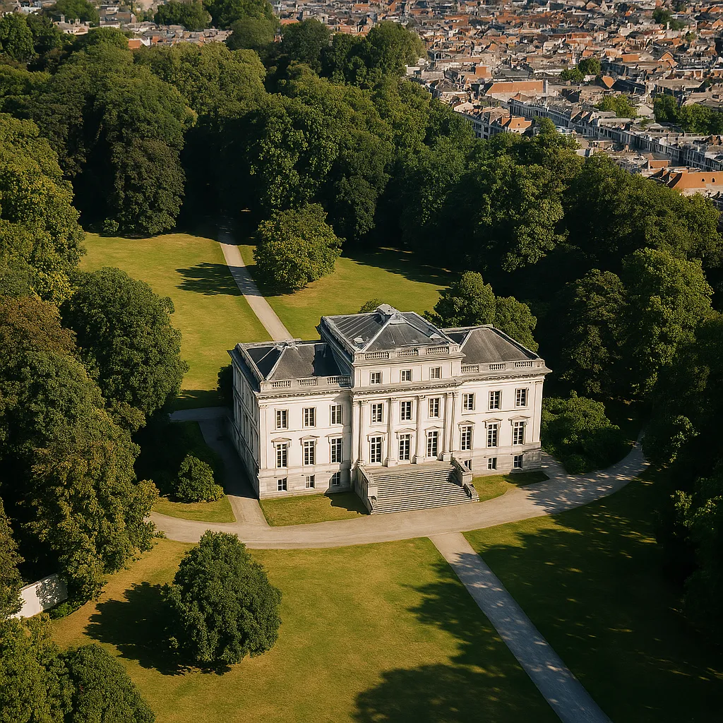
45° aerial photos for building and terrain inspection
Street View for validation and conscience situationnelle
Authentification entreprise for services d'urgence and chain partners
Live incidents, ressources and map layers
Hotspots, patterns and preventive planification
Pre-visualisation and scenarios
Monitoring of incidents and operational indicators
Découvrez des solutions complémentaires qui améliorent vos capacités géospatiales
Rassemblez incidents, risques et infos objets dans un environnement cartographique sécurisé pour tous vos services d'urgence.


Réponses aux questions fréquemment posées sur GeoApps pour régions de sécurité.