


GeoApps supported Landschap Overijssel in aligning GIS management with the organization’s real workflows. Through collaborative workshops and technical optimization, GIS data is now accessible and usable for everyone, regardless of technical background.
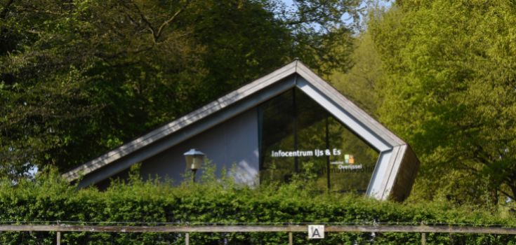
Landschap Overijssel uses GIS throughout the organisation for nature conservation, heritage research, land management, fieldwork, subsidy processes and project reporting. The organisation had already built a strong open-source foundation using QGIS, PostgreSQL/PostGIS and QField, supported by a central database and growing internal expertise.
As GIS use expanded, the next challenge was no longer primarily technical. More employees needed access to spatial information, while management, user support, data ownership and knowledge sharing became increasingly dependent on a small group of specialists. Landschap Overijssel therefore asked MapGear to develop a practical roadmap for a future-proof, organisation-wide GIS environment.
The existing GIS environment provided a solid base for further growth. The introduction of QGIS and QField, the central PostgreSQL/PostGIS database and the broader open-source architecture had already improved the way spatial information was managed and used.
However, technical management, functional administration, data management, innovation and user support were still concentrated around a limited number of employees. This created vulnerability as the number of users, datasets and applications increased.
MapGear recommended dividing responsibilities more clearly between technical management, functional management, data management and user support. This creates greater continuity, protects organisational knowledge and gives specialists more time to focus on development and innovation instead of recurring support requests.
The central GIS database is an important step towards one reliable source of spatial information, but not every dataset needs to be managed in the same way. Organisation-wide base data benefits from central ownership, consistent structures and controlled updates, while temporary project files and specialised analyses require more flexibility.
MapGear therefore advised separating centrally managed base data from project-specific working information. This allows employees to work with reliable organisational data without limiting the freedom required for temporary projects and local analyses.
The result is a data landscape that can grow with the organisation while remaining manageable, recognisable and reliable. It also makes it easier to define who owns each dataset, where information should be stored and which source should be treated as authoritative.
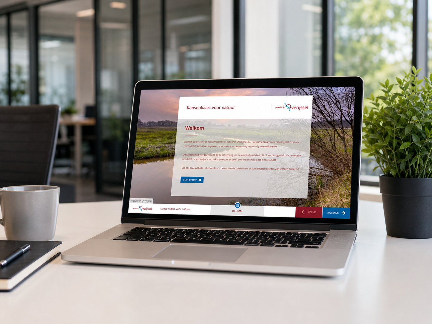
Not every employee needs specialist desktop GIS software, but many colleagues require simple access to current maps, analyses and project information. Online viewers, dashboards and interactive maps can make spatial information available to project teams, field managers, management and external partners without requiring advanced GIS knowledge.
Knowledge sharing is equally important. Much of the organisation’s GIS expertise had been built by a small number of experienced employees, creating a risk that essential processes would remain dependent on individuals.
MapGear recommended expanding documentation, standard projects, work instructions and a central knowledge base, supported by regular knowledge sessions and practical user meetings. This helps employees work more independently, makes support more consistent and reduces the risk of knowledge being lost when someone is absent or changes roles.
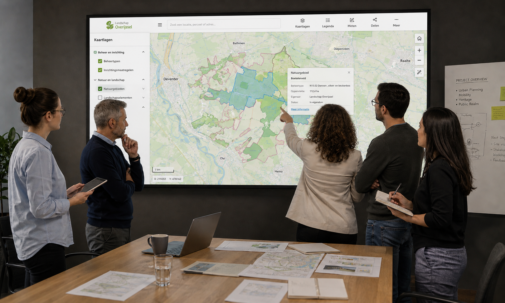
The advisory process resulted in a practical roadmap covering governance, technical and functional management, data ownership, documentation, user support and wider access through online applications. This gives Landschap Overijssel clear direction for developing GIS in a controlled and future-proof way.
The project also led to a follow-up assignment in which MapGear supports the implementation of the renewed GIS architecture. Recommendations are being translated into concrete actions through an implementation plan, regular project meetings and specialist guidance. The Landschap Overijssel project shows that future-proof GIS development does not begin with purchasing another platform. It begins by aligning people, processes, responsibilities, data and technology around a shared organisational vision.
MapGear helps municipalities, provinces, water authorities, environmental services and nature organisations develop scalable GIS environments. Whether you need an independent GIS vision, clearer governance, a professionalisation roadmap or support with implementation, our specialists can help determine the right next step.
Contact MapGear to discuss how your organisation can build a more manageable, accessible and future-proof GIS environment.
Discutons de la façon dont GeoApps peut aider à concrétiser votre vision

Discutons de votre cas d'usage.

