Fourteen years ago, MapGear started with a straightforward belief: geographical information should be easier to understand and use.
Since then, technology has changed, more spatial data has become available, and the questions organisations need to answer have grown more complex. Throughout that journey, however, our purpose has remained the same: helping people work with geographical information.
As MapGear celebrates its 14th anniversary in 2026, we are looking back at the places, projects and people that have shaped our work.
From a beginning in Zwolle to a team in Deventer
MapGear’s story began in Zwolle, the Netherlands. Over the following years, that starting point grew into a team of around 15 colleagues working from the Gasfabriek in Deventer.
Today, our work brings us together with municipalities, provincial authorities, regional water authorities, environmental agencies and consultancies across the Netherlands. Although these organisations have different responsibilities, they share a need to make spatial information useful in their daily work.
Meanwhile, the technology supporting that work has continued to develop. There are more possibilities for collecting, analysing and sharing geodata, alongside growing expectations about how easily people should be able to access it.
For MapGear, this has meant developing our solutions while staying close to the practical questions behind each project.
Making complex information easier to work with
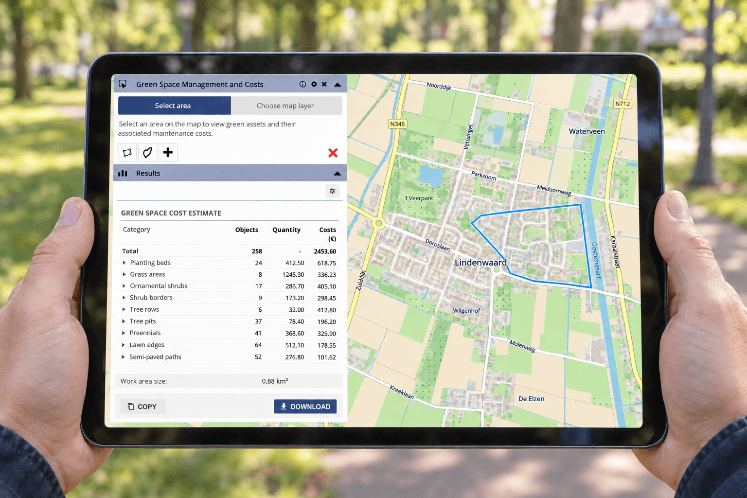
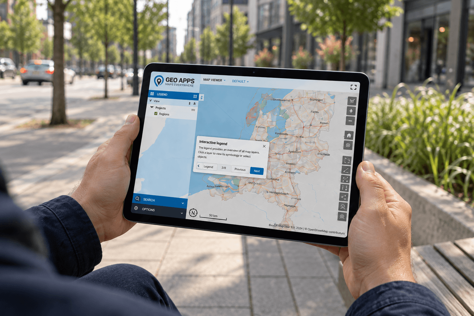
Over the past 14 years, MapGear has developed a range of applications for visualising, analysing and sharing geographical information. These include online map viewers, GIS applications, dashboards, data portals, participation tools, interactive tables and sustainability maps.
Each application serves a different purpose. Nevertheless, they share the same starting point: information should be understandable, accessible and useful.
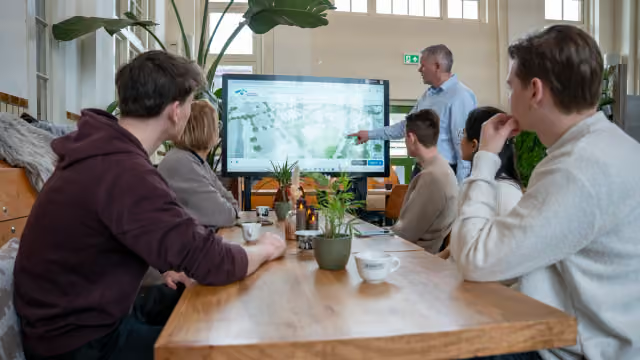
Through GeoApps and our wider range of solutions, we help organisations make spatial information available to the people who need it. Depending on the application, that audience may include GIS specialists, operational teams, policymakers, residents or external partners.
The work therefore extends beyond presenting data on a map. It also involves considering who will use the information, what they need to understand and how an application can support their task.
Behind every application are people working together
Technology is an important part of MapGear’s story. Ultimately, however, that story has been shaped by people.
Behind each project are colleagues, clients and partners bringing their knowledge and ideas to the table. Their different perspectives help connect technical possibilities with the needs of an organisation and its users.
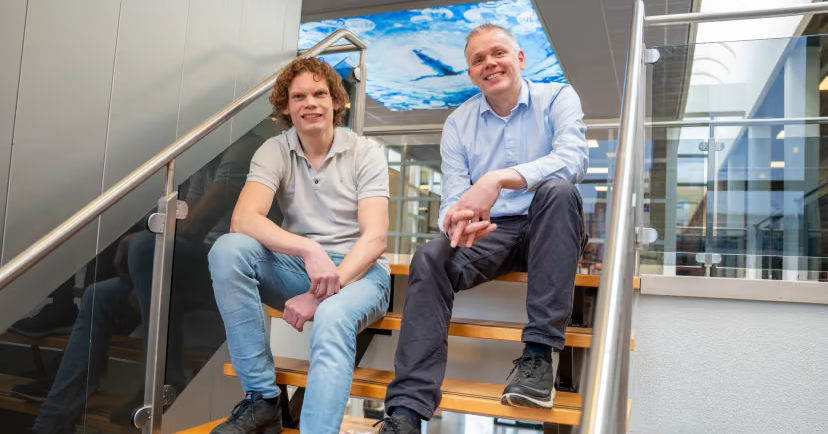
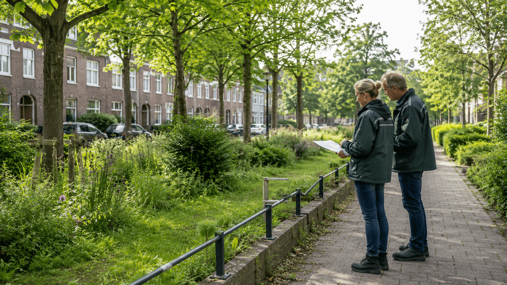
This collaboration matters across the subjects we work on, including spatial planning, sustainability, infrastructure, public participation and the living environment. Although the questions differ, progress depends on understanding both the information and the people working with it.
That is why this anniversary is also an opportunity to say thank you. To our colleagues, clients and partners: thank you for your trust, your ideas and your contribution to the past 14 years.
Taking the same purpose into the next chapter
Looking ahead, new technology will continue to create opportunities for working with geographical information. At the same time, organisations will face new questions about the places they manage, develop and serve.
MapGear will continue to build on the purpose that started this journey: making geographical information accessible and helping organisations get more value from their geodata.
As we explore new applications and approaches, the practical needs of users remain our starting point. After all, the value of spatial information becomes clear when people can understand it and put it to work.
Here’s to the next 14 years, and to everyone who will be part of them.
Discover what we can build together
Whether you want to share spatial information more widely or make it easier to use within a specific workflow, we would be happy to explore the possibilities with you.
Contact the MapGear team to discuss your organisation’s GIS and geodata needs.