For location-based work, preparing a quote often starts with a lot of groundwork. Objects need to be counted, areas measured, lengths calculated and information gathered before the actual cost calculation can begin.
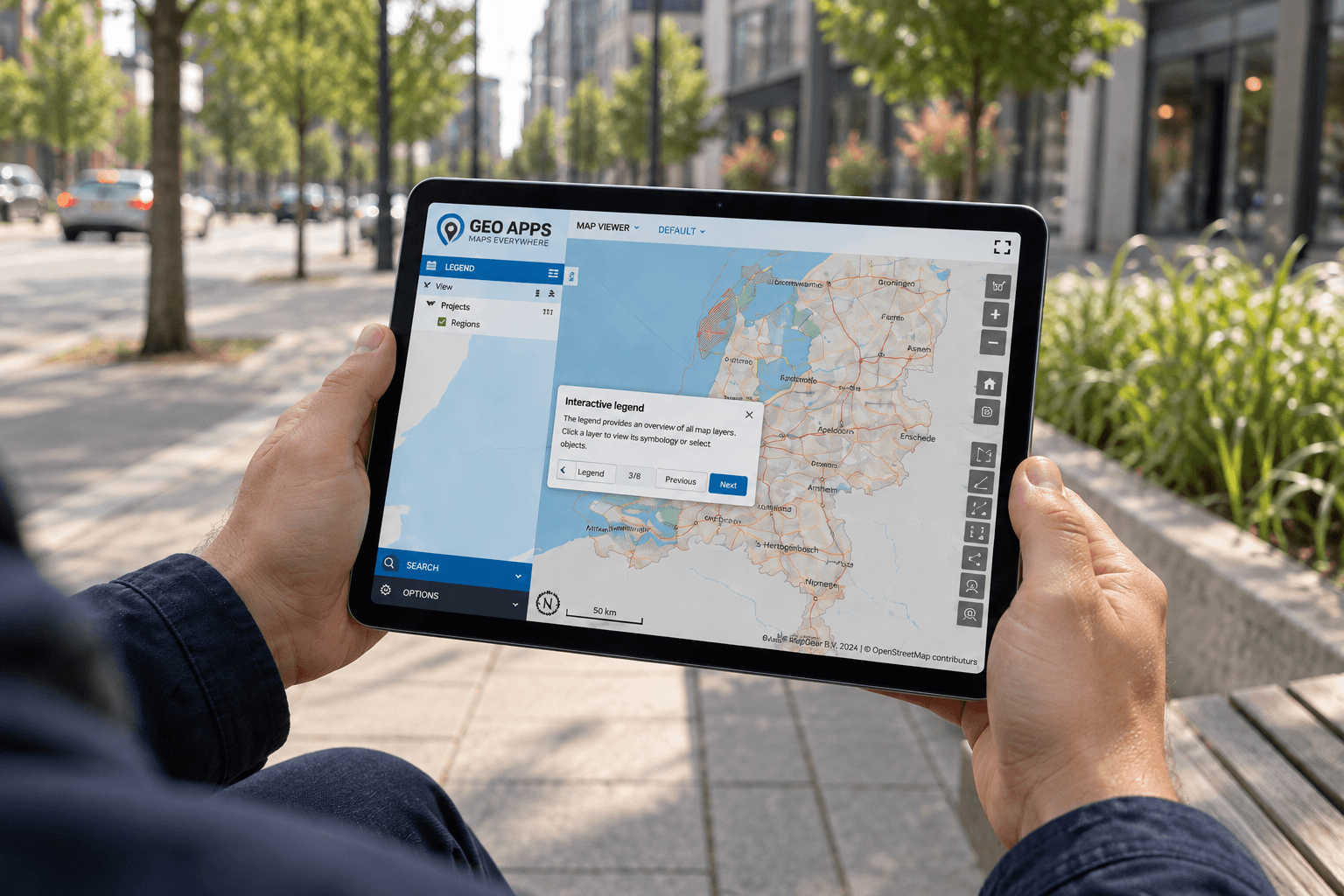
With GeoApps, much of that preparation can take place directly in the map. You select the relevant project area, after which the application determines which objects fall within it and what quantities are involved. By linking this information to unit prices and cost data, you immediately create a useful basis for the quote.
The quote is not the slow part. Getting to the right numbers is.
For work in public space, the first step is understanding what is actually located within the project area. How many trees or green assets are present? How many square metres of paving need to be included? Which hedges, verges or other maintenance elements fall within the scope?
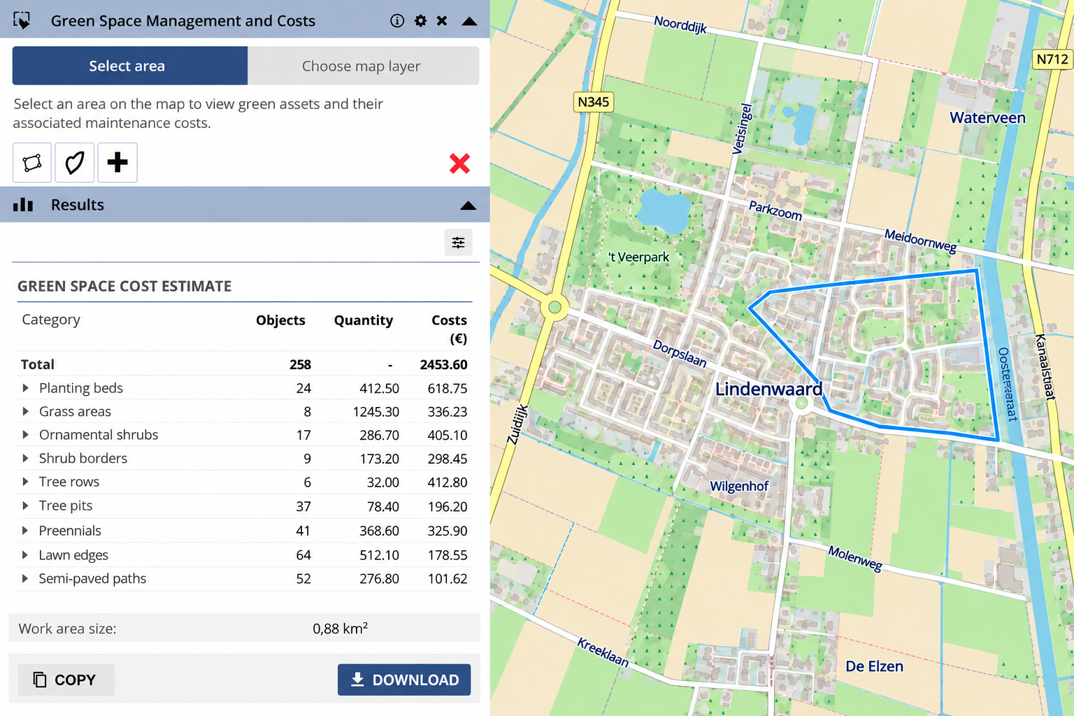
When this information is collected manually, searching, measuring and checking boundaries all add time. With GeoApps, the user can draw an analysis area or work with an existing map layer. The relevant objects within that area are then selected automatically.
From map to quantity, price and total cost
Once the analysis area has been defined, GeoApps can display data such as object counts, lengths, areas, unit prices, costs per management category and the total cost for the complete area.
Spatial information and cost data are therefore directly connected. Lengths and areas can be derived from geometry, while objects can be linked to unit prices. The results can then be copied or exported for further use in a quote, cost calculation or report.
Less manual work gives you more control over the calculation
A more efficient process is not only about time. It should also remain clear which area was analysed, which objects were included and what the calculation was based on.
A GIS-based calculation makes these assumptions easier to understand. It also reduces the need to repeatedly transfer information between maps, spreadsheets and calculation tools. When map layers or pricing tables change, the calculation can be run again with updated data.
Let the map do more than show information
The same approach can be expanded with different pricing levels, maintenance scenarios, material costs, work activities by object type and reporting. This gives GIS a more practical role in the quoting process. The map does not only show what is located where, but helps turn spatial information directly into cost calculations, quote preparation and reporting.
Want to see how GeoApps can use spatial data in your quoting and cost estimation workflow?