Municipalities and project teams often receive valuable feedback from residents, but that input can quickly lose meaning when the place behind the comment is unclear. “This crossing feels unsafe” or “this route needs improvement” becomes much easier to act on when the exact location is visible on the map.
Location-based public participation connects comments, routes and concerns directly to the places they refer to. With MapTalk, residents can explore a project area, respond to proposals and add input within a clear geographic context. As a result, project teams receive structured spatial feedback that is easier to compare, interpret and use during planning.
When the location is missing, even valuable feedback can become hard to use
Traditional questionnaires and meeting notes can capture what people think, but they do not always preserve where the issue occurs. For spatial projects, however, that context is often essential because a concern about traffic, public space or a proposed route may only make sense when it is connected to a specific street, junction or area.
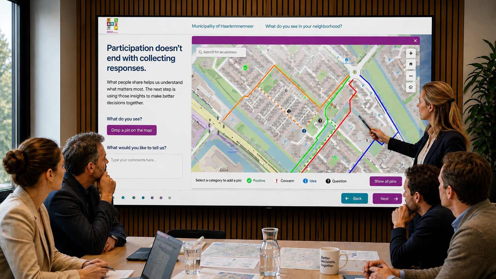
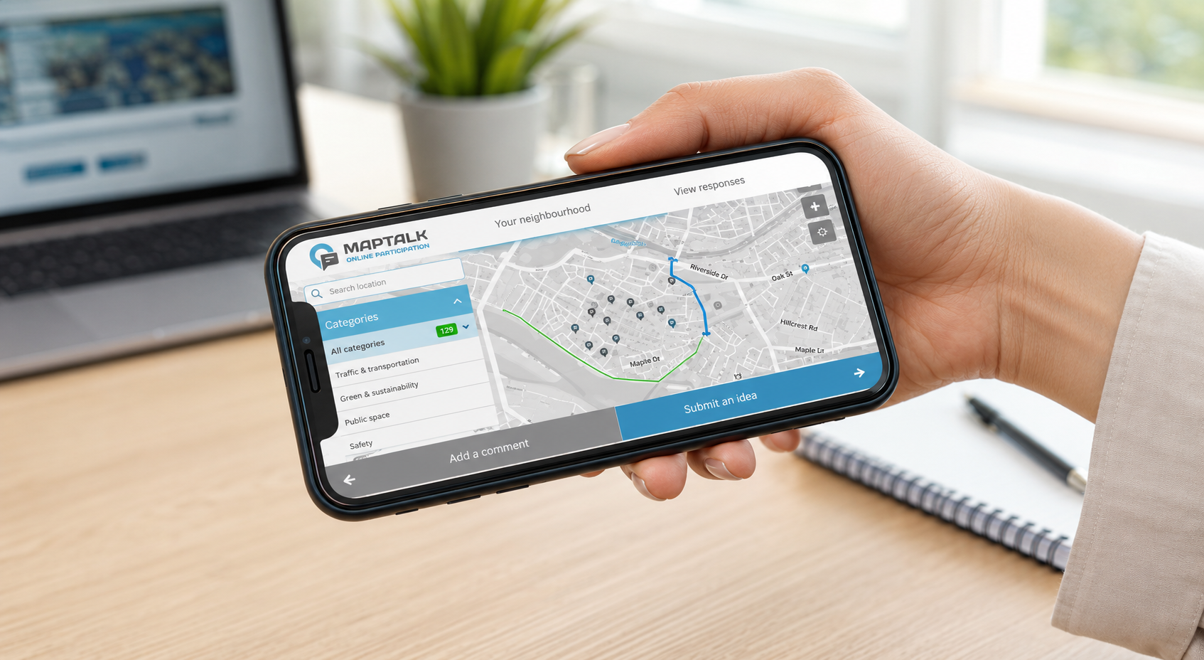
With MapTalk, participants can mark points, identify routes and respond to specific locations or proposals directly on an interactive map. Consequently, project teams receive more than a collection of separate comments. They gain spatial information that can be reviewed alongside plans and other project data.
Residents know the places where plans look different in real life
Residents experience neighbourhoods differently from planners and technical specialists. They may know where traffic regularly becomes congested, which routes feel unsafe, where children cross the road or which public spaces matter most to the community.
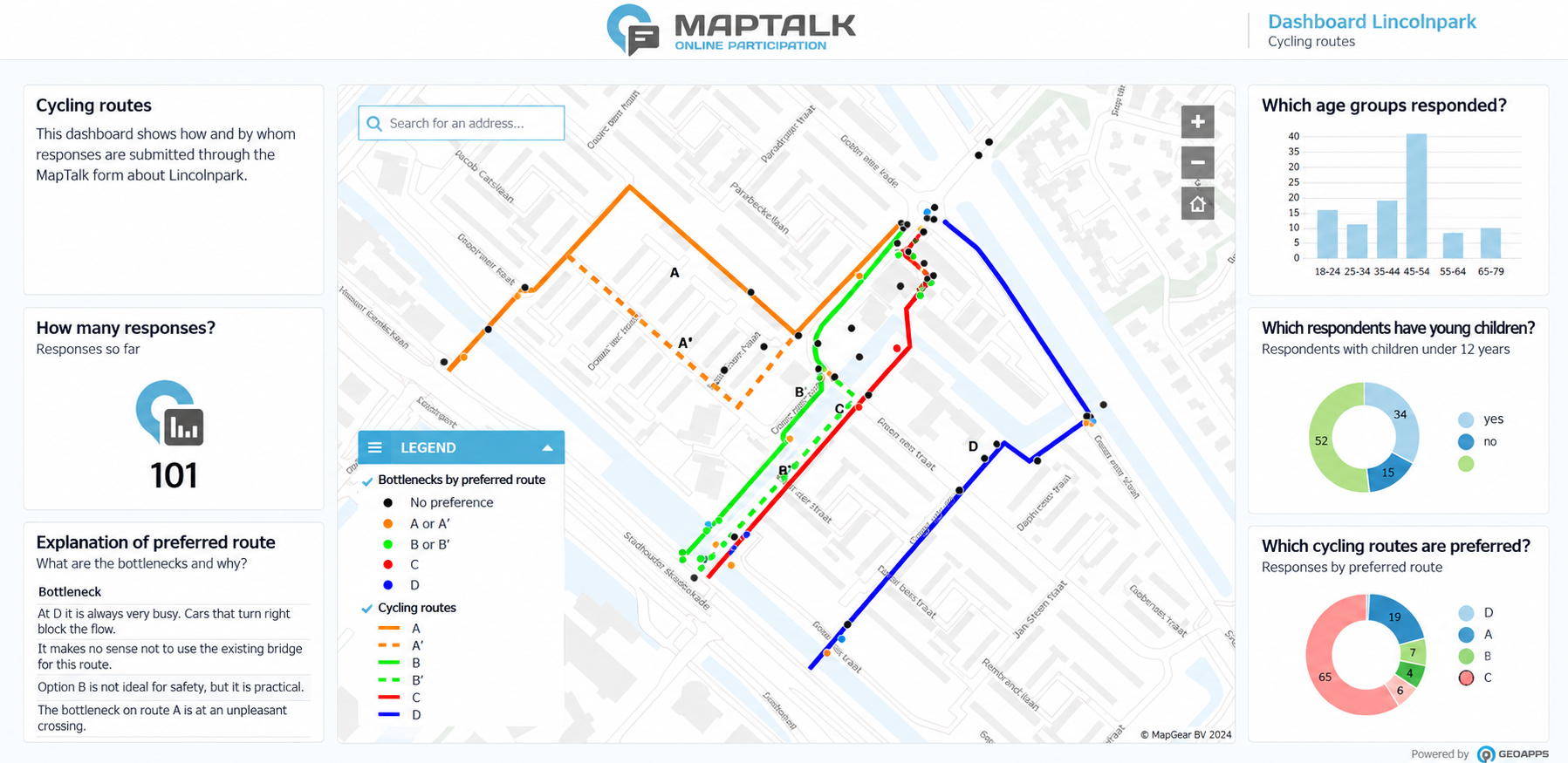
By connecting that local knowledge to the map, patterns become much easier to recognise. Teams can see where concerns are concentrated, which routes receive repeated feedback, where participants identify opportunities and which locations may require further investigation. In practice, participation becomes a source of practical spatial insight rather than only a communication exercise.
If participation only works for people in the room, important voices can be missed
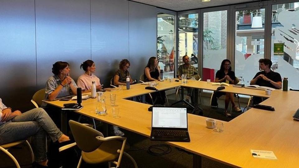
Public meetings remain valuable, but not everyone can attend at a fixed time or location. Digital participation therefore gives residents another way to review project information and contribute when it suits them, while in-person sessions can still support deeper discussion around maps and proposals.
MapTalk brings both approaches into the same participation environment. Feedback submitted online and input collected during meetings with the MapTalk table can contribute to the same project overview. As a result, project teams spend less time combining separate spreadsheets, notes and questionnaires afterwards.
The current article also describes a regional cycling project where residents could review proposed routes online and respond directly on the map, while interactive map tables supported discussions during community meetings. This shows how digital and physical participation can reinforce each other rather than operate as separate processes.
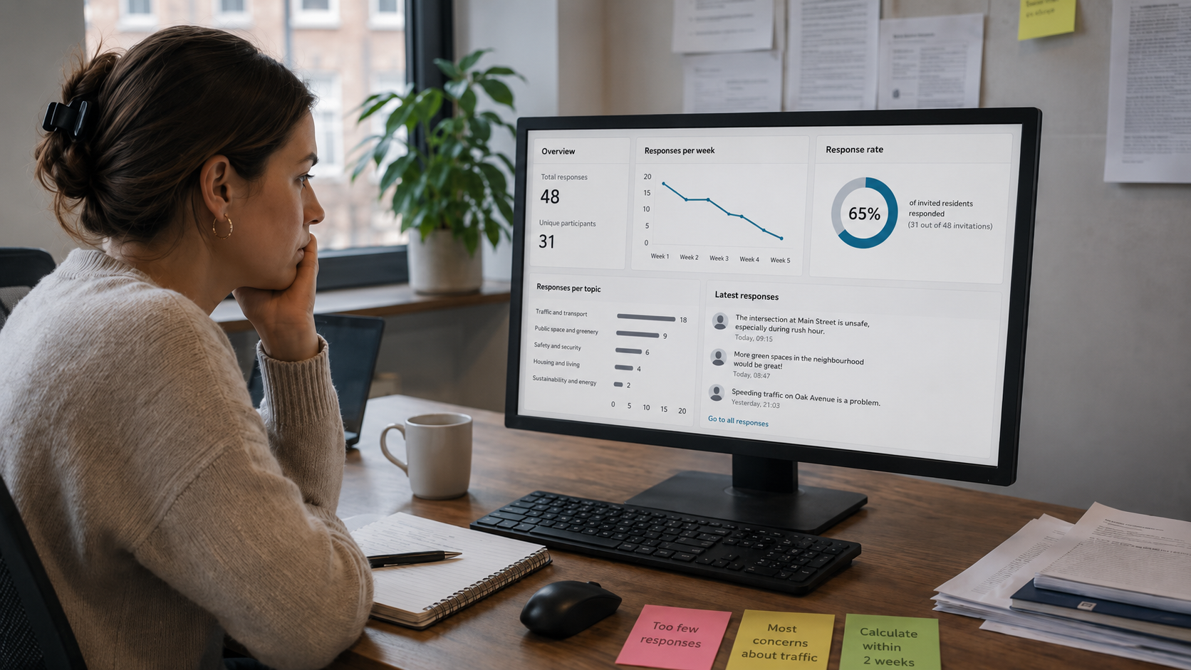
Collecting feedback is easy. Turning it into something useful is the harder part.
Participation does not end when the final comment is submitted. Project teams still need to understand what people are saying, where concerns occur and how that feedback should influence the next stage of the project.
Because MapTalk structures responses geographically, organisations can review recurring issues, compare contributions and identify where further analysis or communication may be needed. Moreover, the same spatial structure can support follow-up by helping teams explain which issues were raised, what was investigated and how participation contributed to the project.
Effective participation is therefore not simply about collecting more responses. It is about making local knowledge useful within spatial decision-making. By connecting resident experience directly to the map, MapTalk helps municipalities and project teams turn public input into clearer spatial insight.
Want to make resident feedback easier to understand and use in your spatial projects?