

 GeoApps
Participation in your GIS workflow
Engage residents on your maps and plans from within GeoApps. One environment for GIS and citizen participation.

What is GeoApps?
GeoApps is a GIS platform for map applications. You add MapTalk as an extension: a separate app type for citizen participation that does not count toward the regular app limit.
Cities, municipalities, provinces, consultancy firms and engineering firms use GeoApps and MapTalk for participation projects, spatial planning and involving citizens in decision-making.
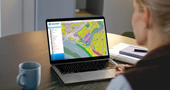
Why MapTalk within GeoApps?
GIS platform integration
MapTalk is an extension on GeoApps: a separate app type for citizen participation, alongside Viewer, Dashboard and MapTour.
Used by cities and governments
Many municipalities and provinces use MapTalk as part of their GeoApps platform for participation projects.
For consultancies and engineers
Consultancy firms and engineering firms use MapTalk within GeoApps to facilitate participation in spatial projects.
Map applications and data visualization
Combine spatial data visualization with participation through interactive maps and dashboards.
Benefits of GeoApps
Integrated GIS platform for all spatial applications
One platform for maps, data and participation
Widely used by governments and professionals
Scalable and flexible for different projects
Contact
Get in touch
Interested in MapTalk? Fill in the form and we will get back to you quickly, or book .
Get started quickly
MapTalk is an online platform that is immediately available. After a short introduction, you can start your first participation project right away.
Support & Setup
We provide comprehensive support and setup to help you get the most out of MapTalk. From initial onboarding to ongoing guidance.
Direct contact
How can we help you?
Frequently Asked Questions
Here you will find answers to the most frequently asked questions about MapTalk
Still have questions?
Contact us via the contact form, call or send an email. We're happy to help!
Discover MapTalk within GeoApps
GeoApps is a complete GIS platform for data provisioning and citizen participation. Combine professional map applications with MapTalk for effective participation projects.