Imagine walking home on a hot afternoon with nowhere to find shade. Or passing an empty paved square that could become a place to sit, meet and spend time outdoors.
Residents notice these possibilities because they experience their neighbourhood every day. A map may show where there is room for greenery, but it cannot tell the whole story of how people use a place. That is why involving residents matters: their local knowledge can help turn a greening ambition into a plan that responds to real needs.
The neighbourhood knows where it hurts
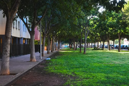
Trees and green spaces can make streets more pleasant, but deciding where to put them is rarely simple. A location that looks suitable on paper may be an important walking route or a space used in ways the project team has not seen.
By asking residents early, planners can discover which streets feel exposed on hot days, which public spaces people avoid and where greenery would make the biggest difference to daily life. That insight helps the team define the problem before choosing a design.
Give people a real say, starting with a clear question
“What do you think of the plan?” can be hard to answer, especially when it is unclear what can still change. Instead, explain the decision residents can influence. Are you looking for places to plant trees, ideas for a square or ways to improve an existing green space?
Then ask questions people can answer from experience:
Where would shade make your walk more comfortable?
Which public space would you use more often if it had greenery?
What should the team consider before planting here?
Be clear about any limits, too. When residents know which choices are open, they can offer ideas the project team can genuinely consider.
Put local knowledge on the map
“The route to the bus stop needs shade” is valuable feedback. However, it becomes easier to act on when a resident can point to the exact stretch of street.
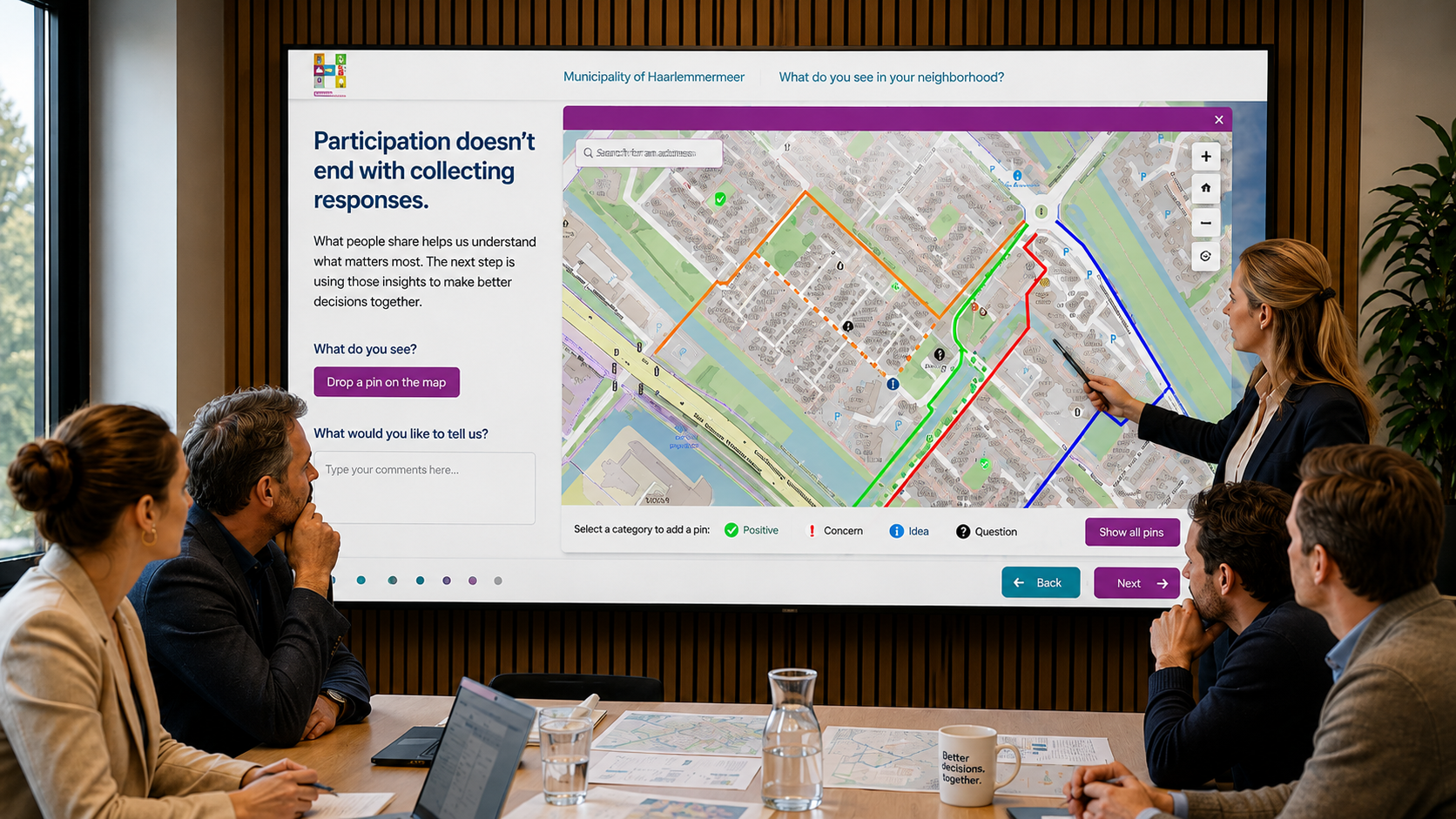
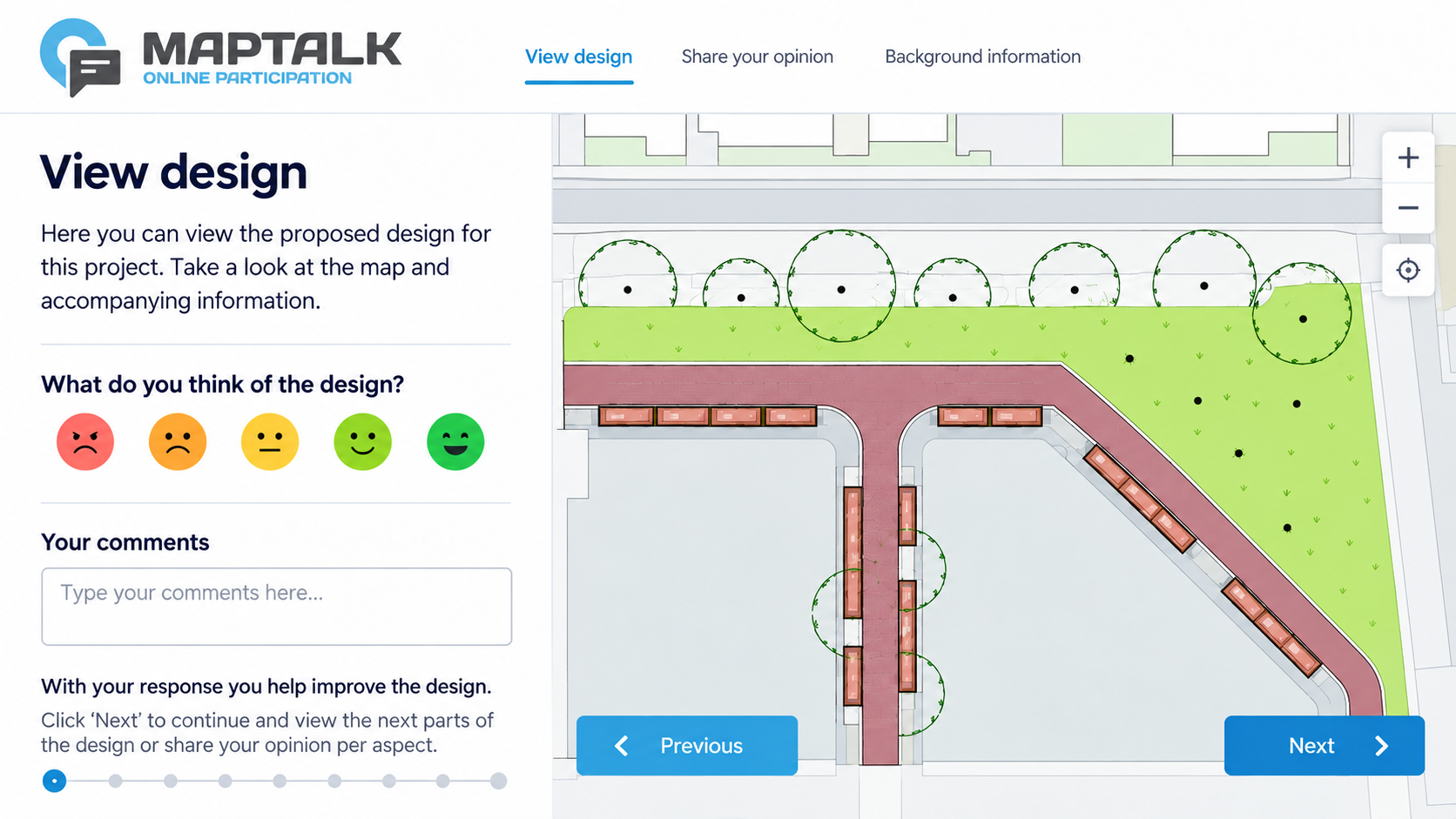
Map-based participation helps people connect their ideas to specific locations and explain why those places matter. It can also help project teams notice where several people raise the same concern. Tools such as MapTalk can support this process by collecting location-specific ideas and feedback.
At the same time, remember that people use the same space differently. Consider whose views are represented and whose may be missing, so the plan reflects more than the most visible responses.
Show residents what their input changed
Sharing an idea takes time. If residents never hear what happened to it, they may wonder whether anyone listened.
Once the feedback has been reviewed, show which places residents identified, what the team will investigate and which suggestions influenced the plan. If an idea cannot move forward, explain why in plain language.
Not every suggestion can become part of the final design. Still, a clear response helps residents understand how decisions were made and gives the project team a chance to check that it understood their needs.
A greener neighbourhood starts with a conversation about the places people use every day. Ask focused questions, listen to local experience and show how that input shaped the next step.
Planning an urban green project?
Explore MapTalk to see how you can gather ideas and location-specific feedback from residents.