GeoApps – WebGIS for your geodata
MapServices delivers geodata. To view, analyse and use it you need GIS software - preferably webGIS. We provide these software solutions through GeoApps.
MapServices is data. GeoApps is software.
MapServices delivers geographic data as files, web services or custom software. To view, analyse and use it you need GIS software - preferably webGIS accessible in the browser without installation.
Data you may have as files can also be delivered as web services with recurring updates, keeping data current without manual downloads. We provide the software to visualise and use it in GeoApps.
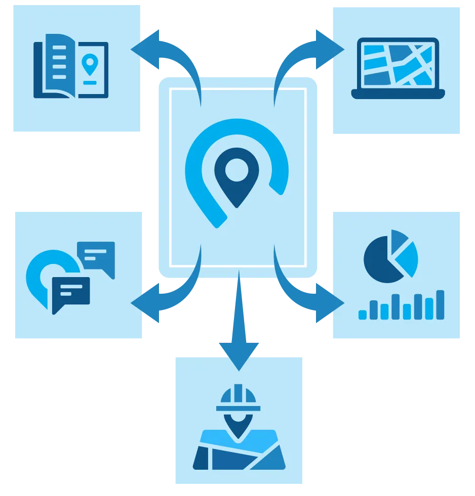
What is GeoApps?
GeoApps is our platform for custom webGIS applications and map viewers. Make your geodata accessible online without users installing special software - everything works in the browser on any device.
From simple map viewers to complex analysis systems: GeoApps brings your geodata to life, fully integrated with MapServices web services for always up-to-date data.
From data to application
How we turn your geographic data into powerful, user-friendly web applications
You have data but cannot view it - or you have a goal but lack data
You may have geographic data but lack tools to visualise or use it, or you have a goal but need geodata to achieve it. MapServices helps convert existing data into usable geodata or fills gaps with our datasets and sources. We deliver geodata in standard formats and via WMS, WFS and TMS.
Into applications and workflows
To use geodata in practice it must integrate into applications and workflows. GeoApps delivers webGIS apps and viewers that make data accessible online and fit your processes. From simple maps to complex analysis - including CRM, ERP and other integrations.
Stay up to date with web services
Data goes stale quickly. MapServices web services provide automatic updates so your applications always use the latest geographic information via WMS, WFS and TMS - no repeated manual downloads.
What does GeoApps offer?
From webGIS applications to custom map viewers - solutions that fit your organisation
WebGIS applications
Powerful webGIS applications that make geodata accessible to your whole team. No installation - everything runs in the browser.
- Works in any modern browser
- No software installation
- Accessible on any device
- Real-time visualisation and updates
Map viewers
User-friendly map viewers integrated with MapServices web services (WMS, WFS, TMS). Always current, always accessible.
- Seamless MapServices web service integration
- Automatic data updates
- Fully customisable branding
- Powerful search and filter tools
Custom GeoApps
From simple map apps to complex analysis systems - every GeoApps application is built to your needs.
- Fully custom development
- Seamless API integrations
- Cloud and on-premise
- Full support & management
Why GeoApps?
Fully custom
Every GeoApp is tailored to your workflows and requirements - no one-size-fits-all.
User-friendly
Intuitive interfaces your team can use immediately without extensive training.
Scalable and flexible
From small projects to enterprise - GeoApps grows with your organisation.
Modern technology
Built with current web technology for performance, security and future-proofing.
Secure and reliable
Enterprise-grade security and privacy with 24/7 monitoring and support.
Seamless integration
API-first architecture for easy integration with existing systems and databases.
Ready to get started with GeoApps?
Visit geoapps.nl for more about our webGIS solutions and examples. Or contact us to discuss turning your MapServices geodata into a powerful GeoApps application.
Frequently asked questions about GeoApps
Answers about our webGIS software and map viewers.