

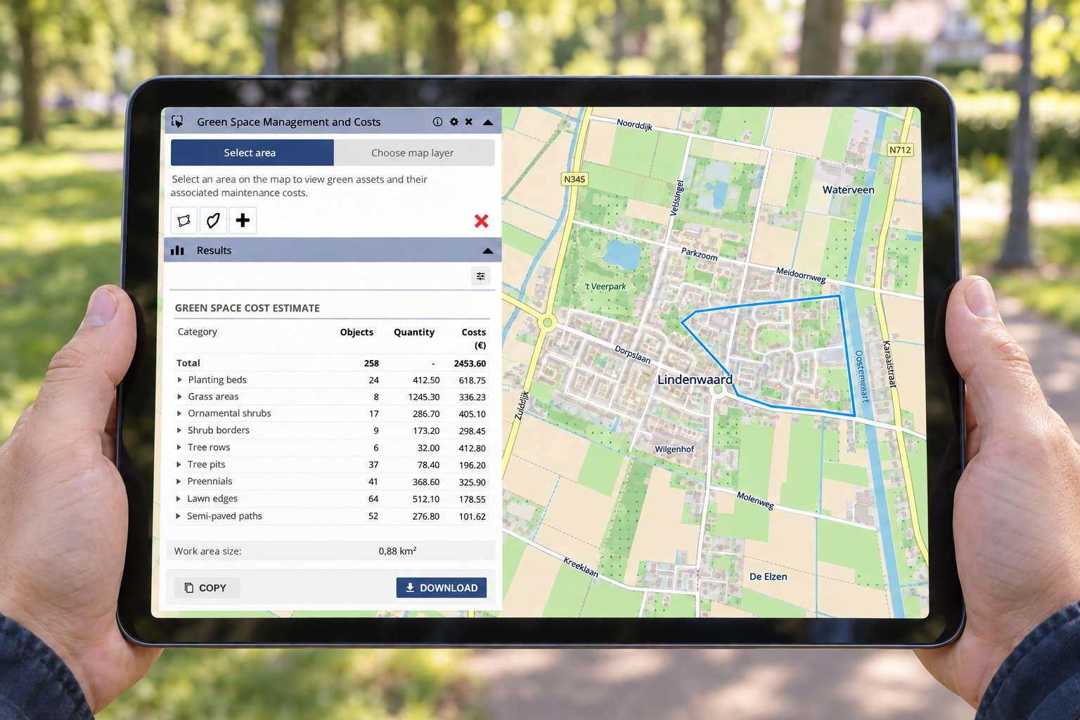
Create Quotes Faster with GeoApps: Quantities and Costs Directly from the Map
Location-based quotes often require time-consuming measuring, counting and data collection before the actual calculation can begin. With GeoApps, quantities, areas and costs can be calculated directly from the map as a basis for a more efficient quoting process.
Read more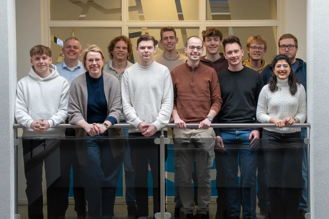
Celebrating 14 years of MapGear
MapGear celebrates its 14th anniversary in 2026. From its beginnings in Zwolle to a team of around 15 colleagues in Deventer, one ambition has remained constant: making geographical information understandable, accessible and useful for the people who need it.
Read more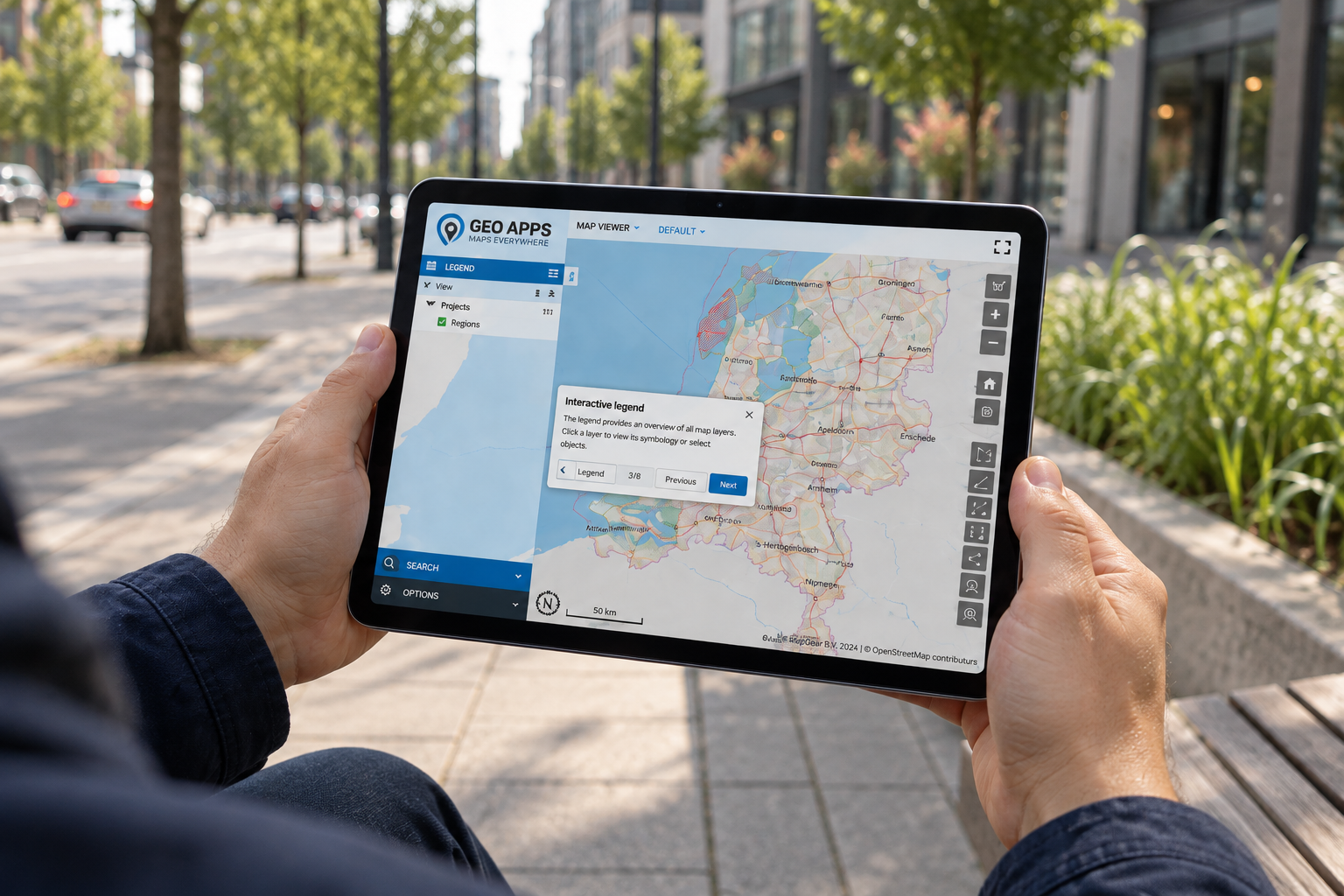
Interactive GeoApps Walkthroughs: Faster GIS Onboarding
Interactive walkthroughs bring guidance directly into GeoApps, helping users learn workflows in context, discover relevant functionality and work more independently without constantly switching to manuals or training material.
Read more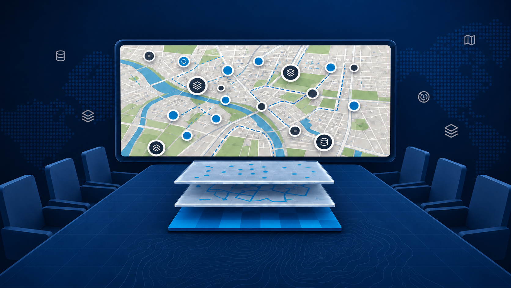
Your Map Has the Answers. Can Everyone Find Them?
A detailed map can still leave people wondering where to look. Discover how GeoApps viewers, MapTour, dashboards and MapTalk help you organise spatial information around your audience, with clear views and explanations that make maps easier to understand.
Read more
Beyond Distance: Understand Who Your Locations Can Reach
A facility can look nearby on a map and still be difficult to reach. MapServices travel-time and catchment-area tools help organisations explore accessibility, compare locations and investigate gaps in coverage. Discover how these analyses bring practical context to spatial planning.
Read more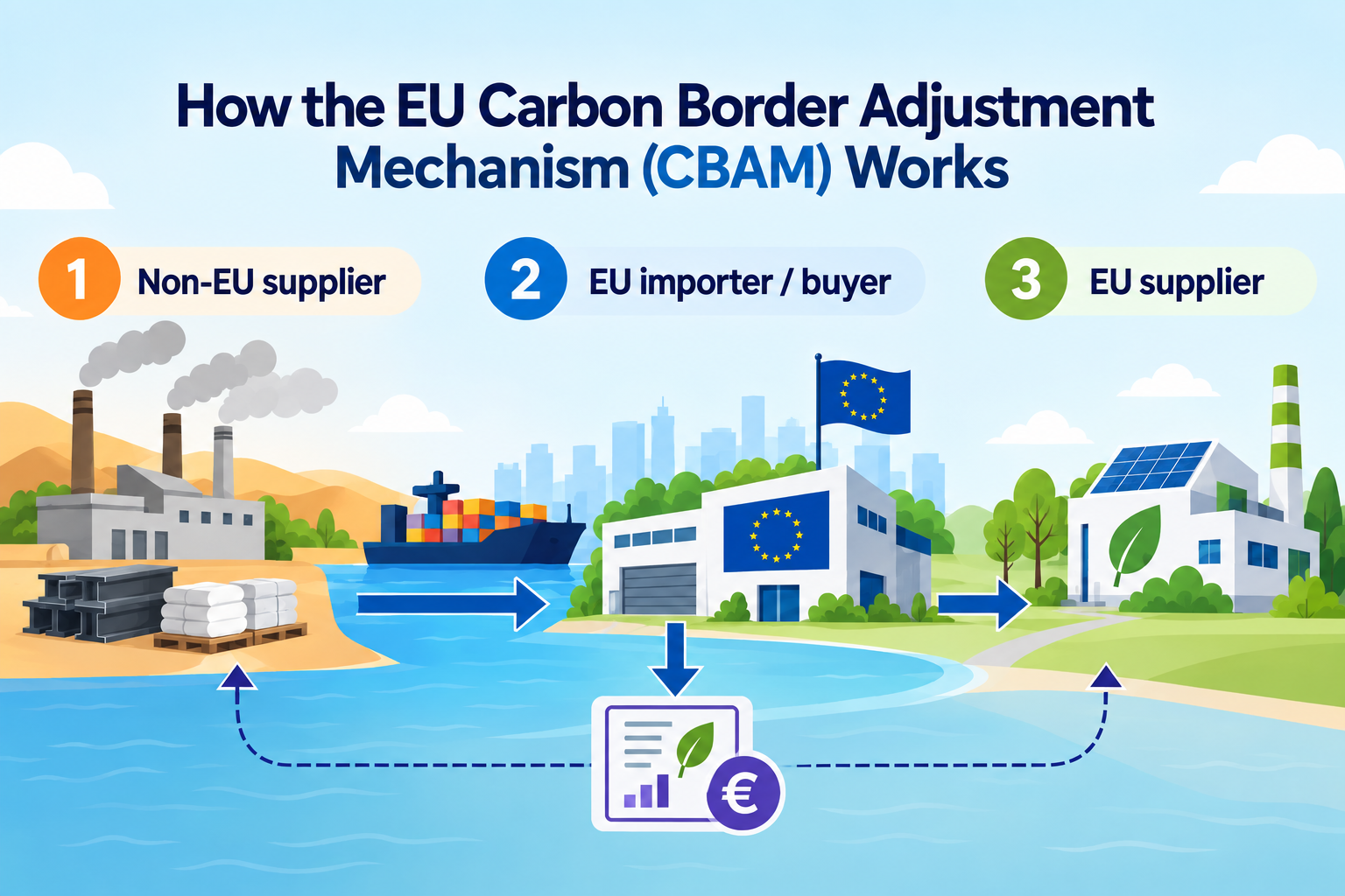
CBAM 2026: What the Definitive Regime Means for Carbon Data
CBAM entered its definitive regime in 2026, bringing new authorisation, emissions reporting and certificate obligations for covered imports. For organisations working with carbon and material data, the challenge is increasingly about knowing which data is required for compliance and which additional insights can support better sustainability decisions.
Read more