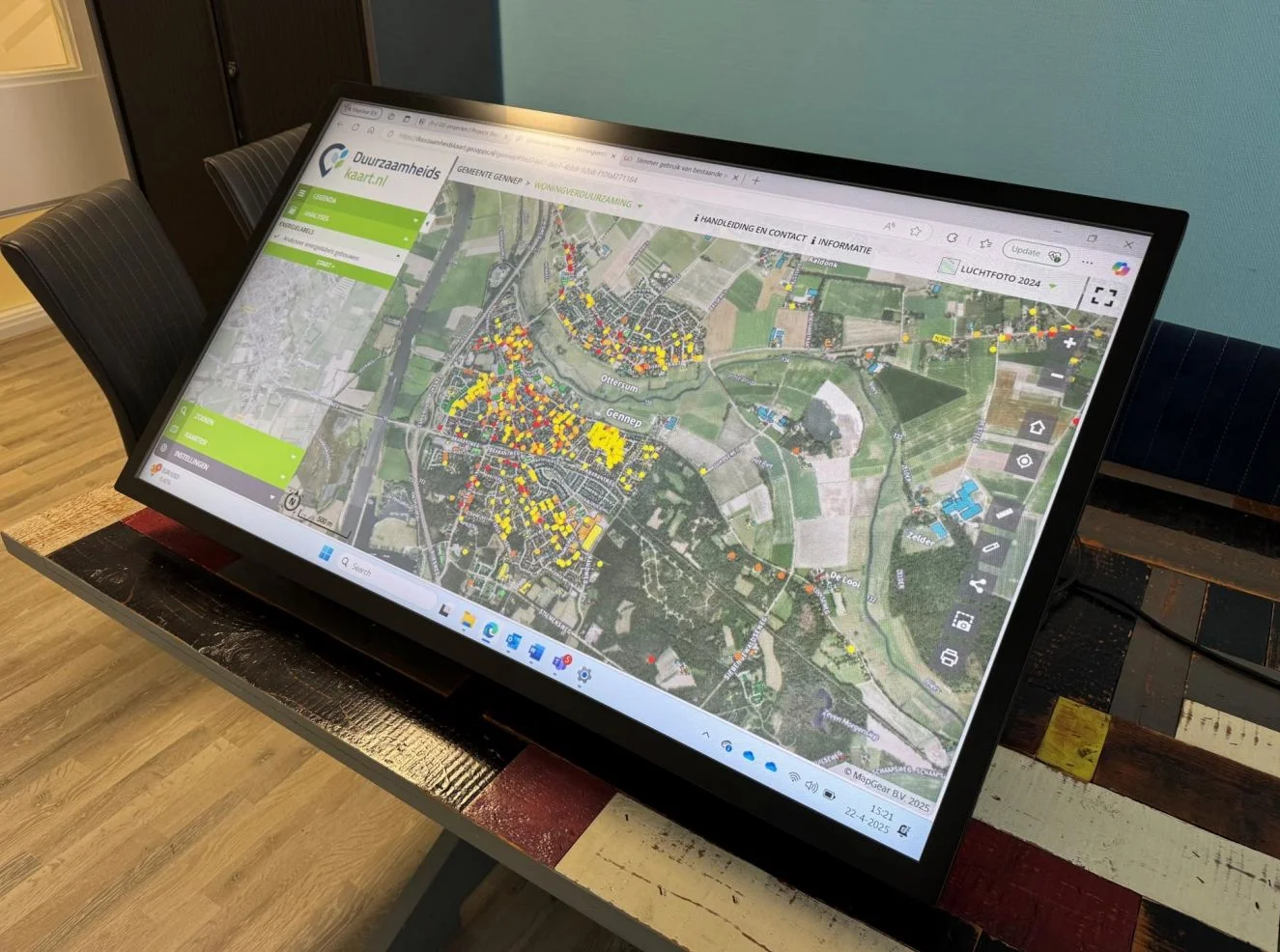
Spatial transitions work better when residents understand proposals. MapGear connects maps, 3D scenarios and online participation.
Digital twins and participation tools make planning understandable: compare options, collect feedback and build trust.
Spatial transitions work better when residents understand proposals. MapGear connects maps, 3D scenarios and online participation.
Do you have questions and want to know more about one of our products or request a demo? Fill in the contact form so we can get in touch with you.
