Meer ontdekkenWerken bijOver onsContact
Inloggen
MapGear Logo
Werken bijActueelOver MapGear
InloggenContact
MapGear, ook bekend van GeoAppsGeoApps
GeoApps Logo
Apps
Oplossingen
Platform
Over ons
Advies krijgen
GeoApps Logo

GeoApps is het toonaangevende softwareplatform voor GIS-toepassingen en ruimtelijke data, waarmee organisaties datagedreven beslissingen kunnen nemen.

Oplossingen

  • Beleid & Ruimte
  • Infrastructuur
  • Vastgoed & Beheer
  • Milieu & Klimaat
  • Energietransitie
  • Veiligheid & Risico

Producten

  • GeoApps
  • Oplossingen
  • Duurzaamheidskaart
  • MapServices
  • TouchTable
  • Adviesgesprek

Apps

  • Viewer
  • Dashboard
  • Fieldwork
  • MapTour
  • PraatMee
  • Maatwerk

Voor wie?

  • Gemeenten
  • Provincies
  • Omgevingsdiensten
  • Ingenieursbureaus
  • Aannemers
  • Veiligheidsregio's

Platform

  • Integraties
  • Documentatie
  • Systeemstatus
  • Changelog
  • Support
  • Abonnementen

Bedrijf

  • Over ons
  • Vacatures
  • Contact
  • Partners
  • Nieuws & Blog
  • Evenementen

Up-to-date blijven?

Abonneer u op onze nieuwsbrief en ontvang de laatste updates over onze producten en diensten. U kunt zich op elk moment afmelden.

Houd ook onze socials in de gaten

Blijf verbonden via onze sociale mediakanalen en ontvang de laatste updates over onze producten en diensten.

Kwaliteit & vertrouwen

MapGear is ISO 9001 en ISO 27001 gecertificeerd en voldoet aan de hoogste kwaliteits- en veiligheidsnormen voor onze producten en diensten.

ISO 9001 Certificering
ISO 27001 Certificering
QGIS Membership 2026
© 2026 MapGear B.V. Alle rechten voorbehouden.
Algemene voorwaardenPrivacybeleidDuurzaamheidsverklaring
Geo-Oblique Viewer for Slagboom & Peeters (MapGear) | Case Study | GeoApps
Project hero background
Terug naar project overzicht
Icon
Viewer
Icon
Custom Apps

MapGear Geo-Oblique Viewer: Slagboom & Peeters

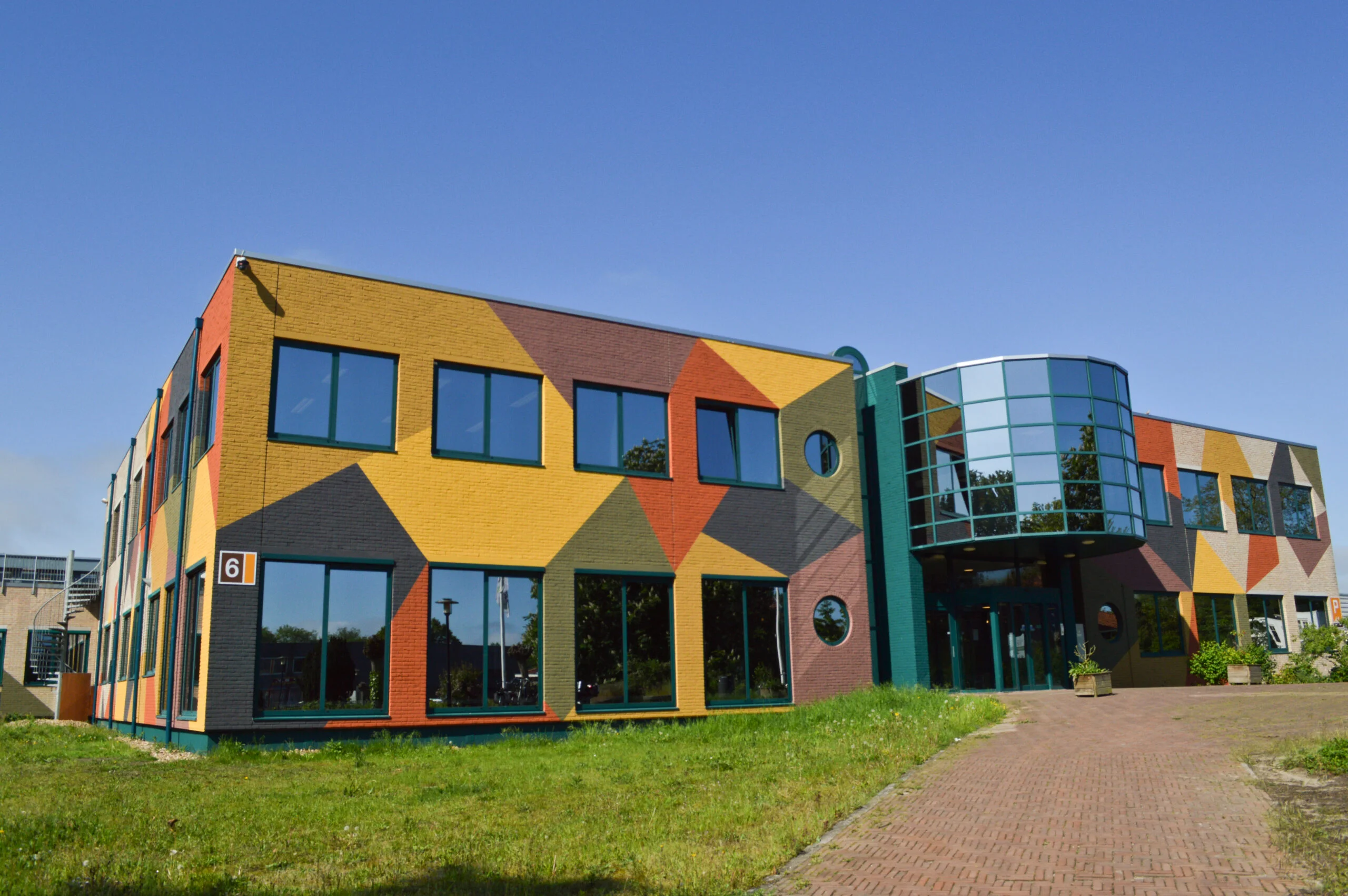
MapGear developed the Geo-Oblique Viewer for Slagboom & Peeters, enabling interactive oblique aerial views that support planning, property inspection, and stakeholder engagement in architectural and real estate projects.

Klant:Slagboom & Peeters
Gepubliceerd:18 december 2020
MapGear Geo-Oblique Viewer: Slagboom & Peeters

What is the Geo-Oblique Viewer?

The Geo-Oblique Viewer allows users to view oblique (angled) aerial imagery instead of only straight-down (orthographic) maps. This provides richer context and intuitive visuals that help in spatial understanding, architectural planning, and property evaluation.


Case: Slagboom & Peeters

For the firm Slagboom & Peeters, MapGear implemented the Geo-Oblique Viewer to showcase properties and developments in a more immersive way.
Users can pan, zoom, and tilt the oblique imagery to see building facades, surroundings, and terrain from multiple angles. This helps both internal project teams and external stakeholders (clients, residents, municipal bodies) better understand proposals and existing site conditions.

Using this tool, project stakeholders can explore 3D-like perspectives, compare expected designs with surroundings, and identify spatial context issues earlier in the process.


Benefits and use-cases

  • Improved spatial awareness: The oblique view offers better perception of building heights, facades, and terrain relations.

  • Stakeholder communication: A more intuitive visual representation helps non-technical stakeholders understand proposals more clearly.

  • Decision support: Project teams can use the viewer to evaluate design options or plan interventions with context in view.

  • Efficiency in presentations: The viewer can be embedded into project websites or portals to visually support proposals, public information, or permit submissions.


Implementation details

The MapGear implementation integrates with existing GIS and imagery services. It supports multiple devices and ensures smooth interaction, including tilting and rotating the view. MapGear handles the rendering, caching, and responsive behavior to deliver a performant user experience.

Heeft uw organisatie ook zo'n aanpak nodig?

Onze specialisten denken graag met u mee.

Klaar om uw eigen project te starten?

Laten we bespreken hoe GeoApps uw visie kan helpen realiseren

Demo aanvragen Neem contact op
GeoApps Viewer
Gasfabriek project
MapGear team office
Demo aanvragenTerug naar alle praktijkvoorbeelden