

How online maps help Ecogroen's ecological advisory work flourish
Ecogroen uses online maps and participation platforms to improve their ecological advisory work and better involve clients in nature projects.
When Ecological Insight Is Hard to Understand, Good Decisions Get Harder
Ecological projects can involve protected habitats, species, landowners, planners and permitting authorities, all looking at the same area from a different perspective. The science may be solid, but when that information is buried in technical reports or difficult-to-read maps, stakeholders can struggle to understand what is actually at stake.
That was the communication challenge facing Ecogroen, a Dutch ecological consultancy. By integrating MapTalk into its work, Ecogroen can present ecological information visually, connect it directly to place and make complex nature projects easier for clients and stakeholders to understand.
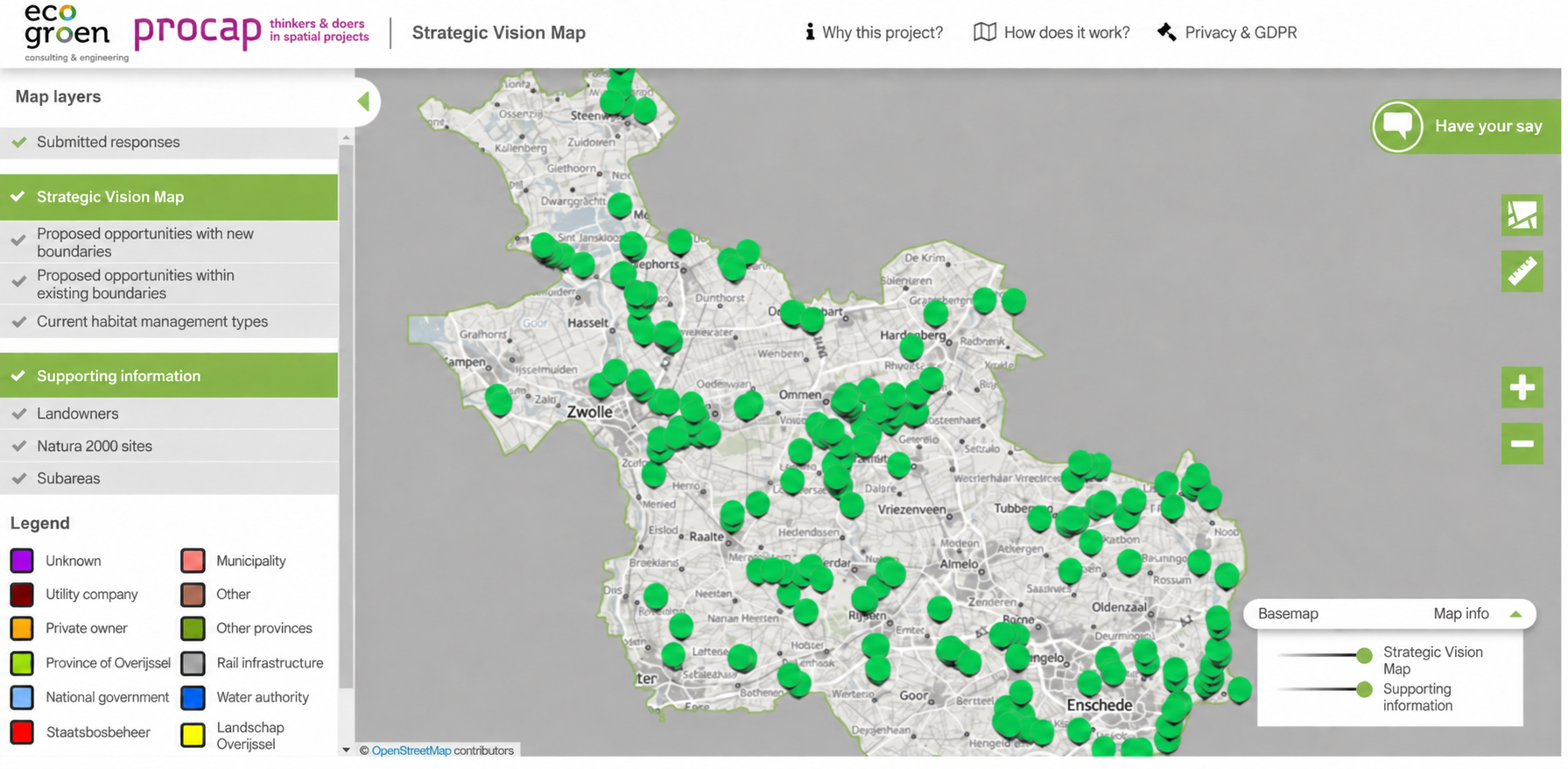
A report can describe the impact. A map shows where it becomes real.
Ecological advice often involves several layers at once: ecological values, protected areas, project boundaries and potential impacts. For specialists, those relationships may be clear. For clients and other stakeholders, they can be much harder to interpret.
Interactive maps give that information a spatial context. Instead of asking someone to imagine how a protected area relates to a proposed development, Ecogroen can show those relationships directly on the map. This makes ecological information easier to discuss and helps clients understand how different considerations relate to a specific location.
When everyone sees the same place, the conversation changes.
Nature projects rarely involve just one stakeholder. Landowners, nature organisations, clients and other parties may all have valuable knowledge, concerns or responsibilities connected to the same area.
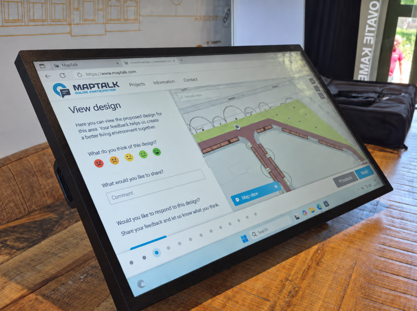
MapTalk gives Ecogroen a structured way to involve those groups and collect input around the locations that matter. Instead of feedback becoming disconnected from the geography of the project, comments and perspectives can be considered in their spatial context.
That shared view creates a clearer starting point for discussion. People may still have different interests, but they are at least looking at the same landscape and the same underlying issue.
Ecological expertise becomes more valuable when people can actually use it.
Strong ecological advice should do more than document what is happening in an area. It should help clients understand the implications, support permitting processes and make stakeholder conversations more productive.
According to the Ecogroen case study, using online maps has helped the consultancy communicate ecological information more accessibly, involve stakeholders in a more structured way and support its advisory work more efficiently.
The value is not simply in making the map more visually appealing. It is in reducing the distance between specialist ecological knowledge and the people who need to make decisions with it.
Complex ecology does not need to mean confusing communication.
Ecological projects will always involve complexity. Protected areas, environmental impacts and competing interests cannot simply be reduced to one easy answer.
But the way that complexity is communicated can become much clearer.
By combining ecological expertise with interactive maps, Ecogroen can make project information easier to explore, give stakeholders a clearer spatial context and create a more accessible foundation for discussion and decision-making.
The ecology stays complex. The conversation does not have to be.