What Is PPGIS? Spatial Citizen Participation Explained
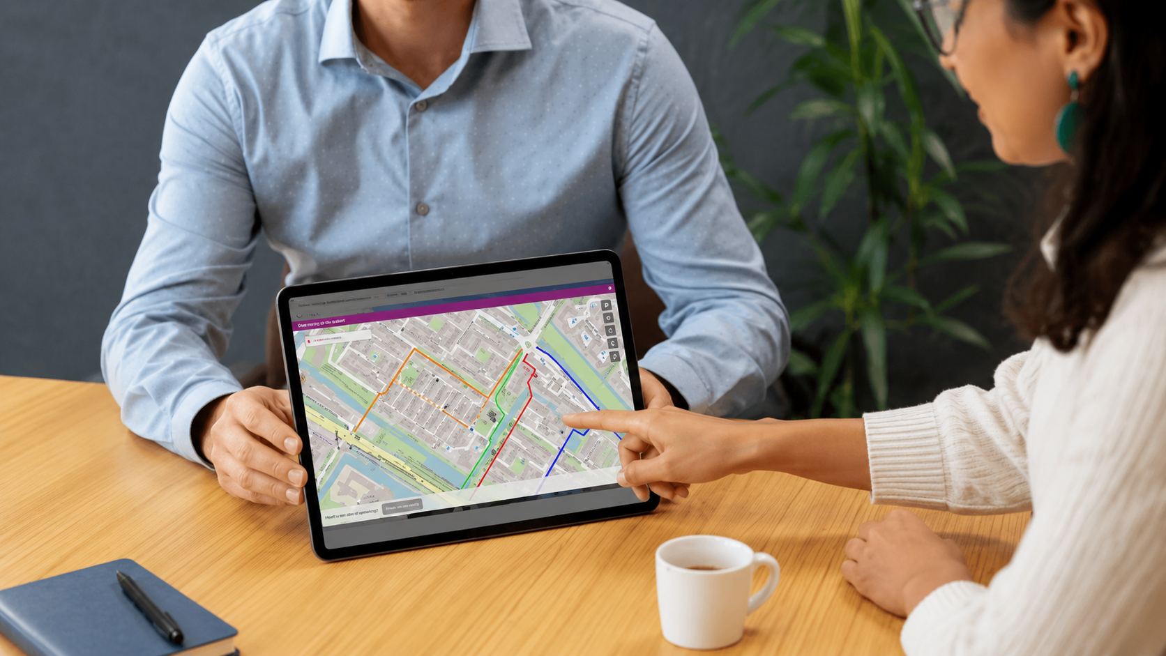
PPGIS stands for Public Participation Geographic Information System. It combines citizen participation with geographic information systems, allowing residents and other stakeholders to connect their feedback directly to a specific location on an interactive map.
This is especially valuable for spatial projects. A comment such as “This crossing feels unsafe” or “This neighbourhood needs more greenery” becomes much more useful when the exact location is visible. PPGIS turns local experiences into structured spatial information that project teams can analyse and use in planning and decision-making.
Collect Location-Based Feedback Instead of Isolated Comments
Traditional surveys and public meetings can generate valuable feedback, but comments often lack clear geographical context. Project teams may understand the concern without knowing which street, building, route or part of the project area it relates to.
With PPGIS, participants can mark points, lines, routes or areas directly on a map. They can show:
where a traffic situation feels unsafe;
which cycling or walking route they prefer;
where additional trees or green spaces are needed;
which part of a proposed design should be improved;
which places are particularly important to the community.
This gives project teams more than a collection of individual opinions. Contributions can be compared spatially, making recurring concerns, preferences and opportunities easier to identify.
Turn Local Knowledge Into Useful Spatial Insight
Technical data does not always reflect how people experience an area in daily life. Residents often know which routes are actually used, where problems occur and which locations have social, practical or emotional importance.
PPGIS adds this local knowledge to professional planning information. The map becomes a shared reference point where lived experience and technical analysis can be considered together.
A clear participation structure is still essential. The question should be specific, the response options should match the project objective and the team should decide in advance how contributions will be assessed. Without this structure, even map-based participation can become a large collection of disconnected observations.
Combine Online and In-Person Participation
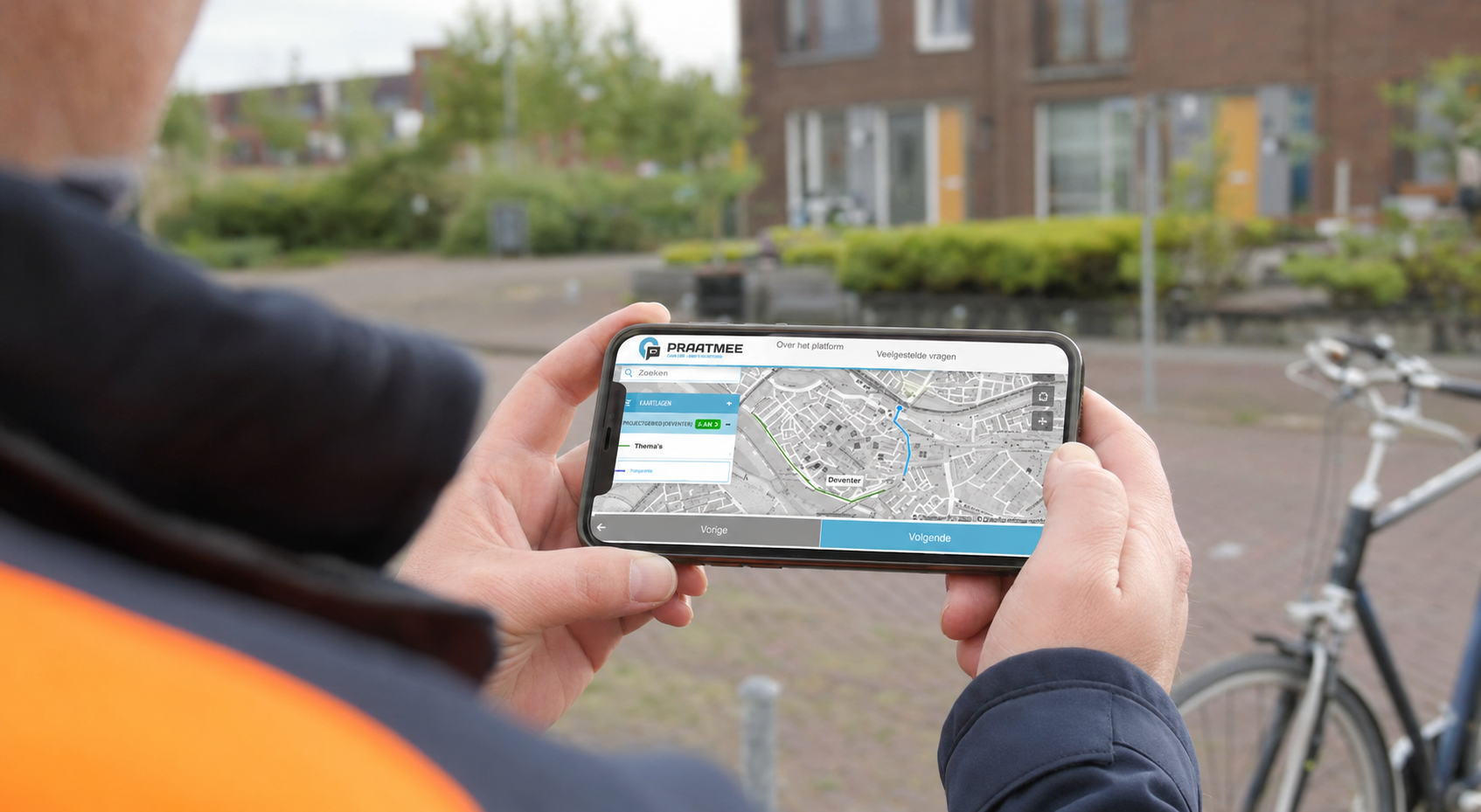
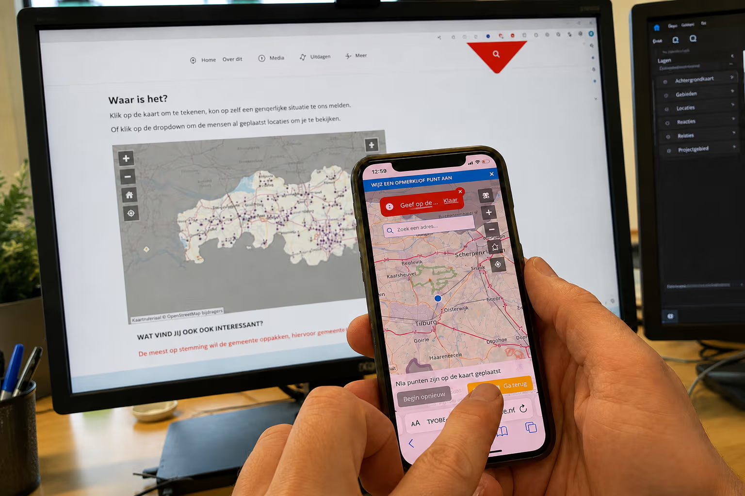
PPGIS is often associated with online participation, but it can also support face-to-face engagement. Residents can contribute from home or while moving through the project area, while the same map can be used during workshops, public meetings or neighbourhood walks.
Combining formats helps reach a wider range of participants. Online participation offers flexibility, while in-person sessions create room for discussion, explanation and collaboration.
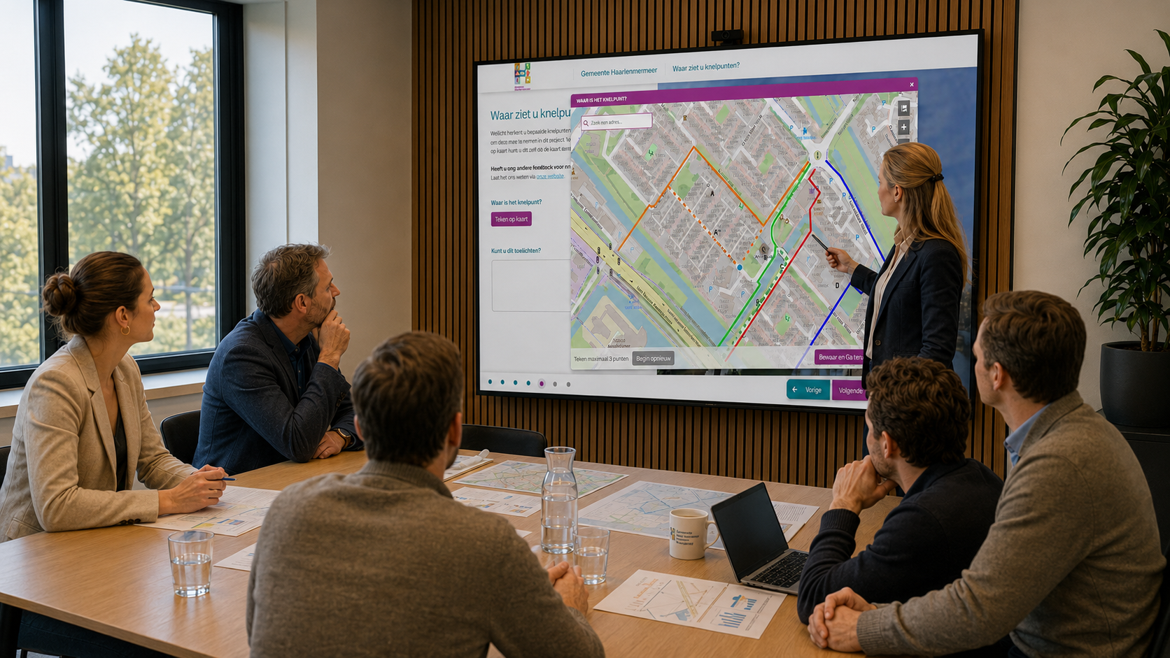
MapTalk connects these approaches. The online platform can be combined with interactive sessions using the MapTalk table, allowing contributions from different channels to become part of one structured participation process.
Make PPGIS Practical With MapTalk
MapTalk allows municipalities and project organisations to configure maps, questions and participation methods around the needs of each project. Participants can review information, mark locations, draw routes, respond to proposals or compare alternative scenarios.
The results are collected in a structured way. Project teams can see which subjects appear frequently, where responses are concentrated and which locations require closer investigation.
PPGIS therefore becomes more than a digital map. It creates a practical connection between residents, spatial information and decision-making. When used effectively, it helps organisations include local knowledge earlier, explain plans more clearly and make participation more transparent.
Are you planning a mobility project, neighbourhood development or change to public space? MapTalk helps you connect feedback directly to locations and turn participation into useful spatial insight.