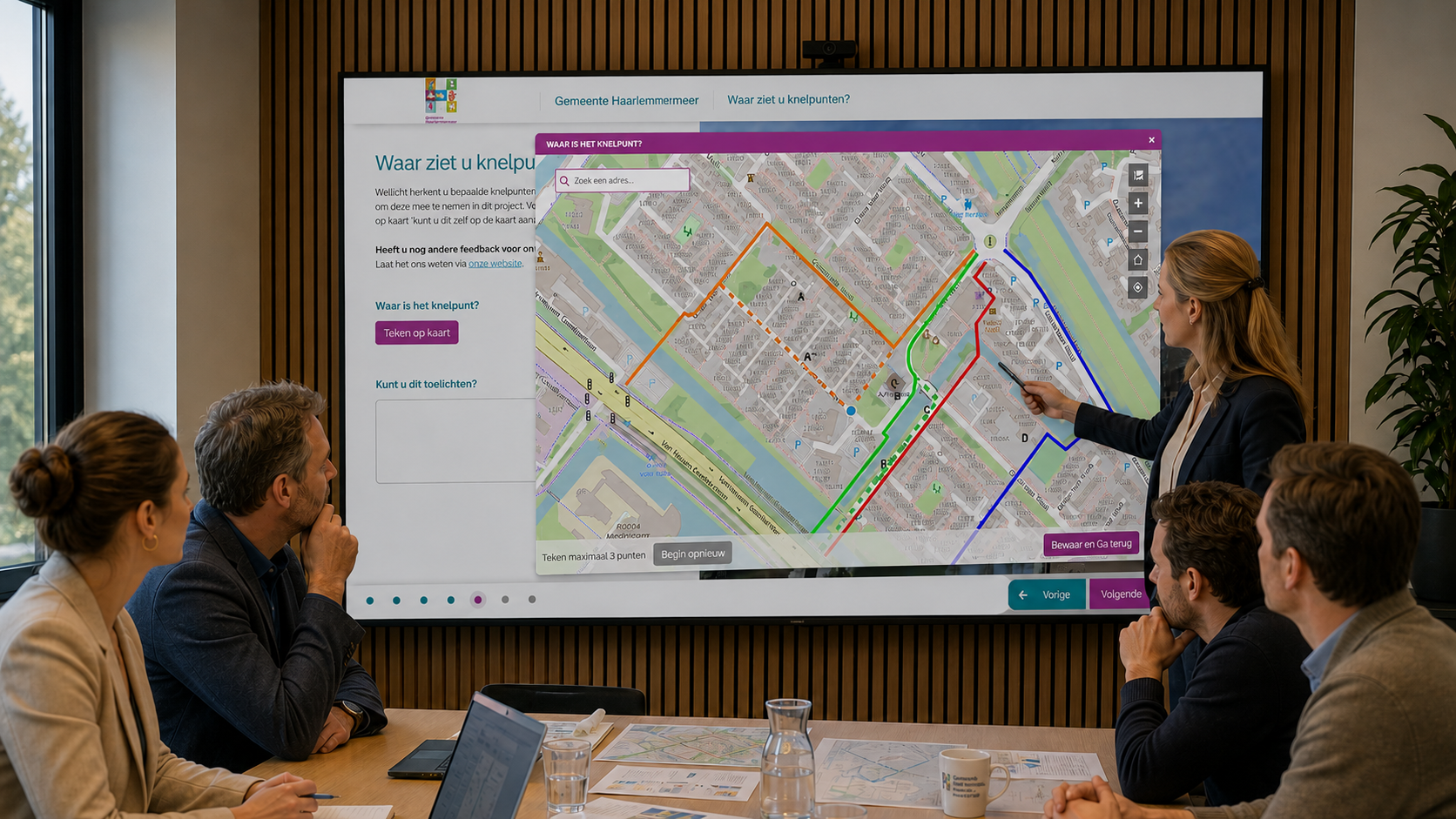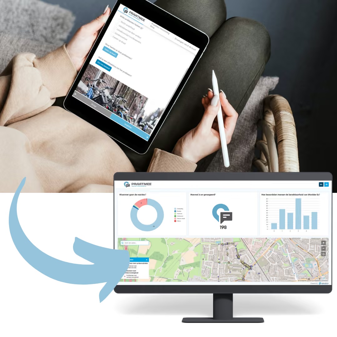
Online participation allows residents and other stakeholders to respond digitally to policies, plans and developments in their living environment. This can happen through questionnaires, interactive maps, participation platforms or digital meetings, allowing people to contribute without attending at a fixed time or location.
However, making participation digital does not automatically make it useful. A project can collect hundreds of responses and still leave the team wondering which signals matter, where the issues occur and how the input should influence the next phase. Effective online participation therefore needs more than reach. It needs a clear question, enough context and a plan for what happens after people respond.
More responses do not help if nobody knows what question they answer
The strongest participation processes begin before the platform opens. Municipalities first need to define what they actually want to learn and which parts of the project are still open to influence.
A broad question such as “What do you think of the plan?” may generate many different opinions, but those responses can be difficult to compare or use. More focused questions make it easier to understand whether residents are identifying bottlenecks, comparing alternatives, sharing local experience or contributing ideas to a design.
Just as importantly, participants should know what has already been decided and what can still change. As a result, expectations become clearer for residents while the project team gains a stronger basis for analysing the input later.
Digital feedback becomes far more useful when the place behind it is visible
A comment can contain valuable local knowledge, but without enough context it may still be difficult to act on. “This route feels unsafe” means much more when the project team can see the exact street, crossing or section the resident is referring to.
For spatial projects, interactive maps provide that context. Participants can place a point, draw a route, mark an area or respond to a specific design directly on the map. Consequently, feedback stays connected to the place it concerns instead of becoming an isolated text response.
Moreover, spatial input makes patterns easier to recognise. When several residents identify the same junction, street or neighbourhood, teams can quickly see where concerns are concentrated. MapTalk combines maps, questionnaires and dashboards so feedback can be reviewed both geographically and thematically.
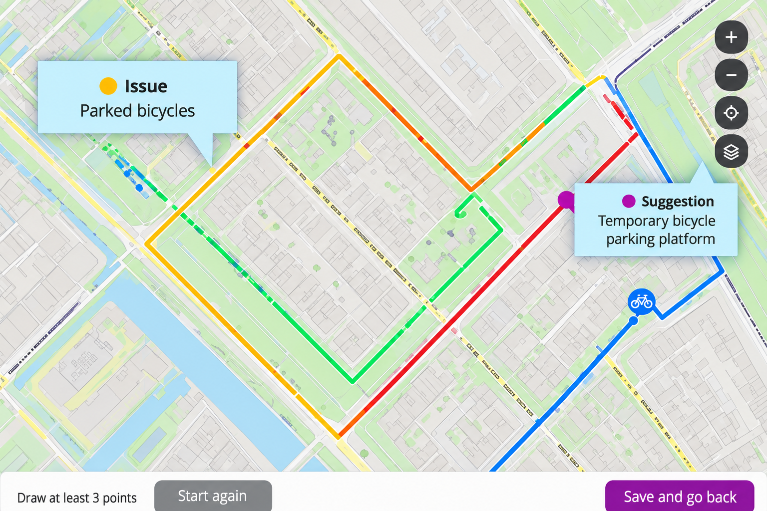
Residents adding location-based feedback to an interactive MapTalk participation map
If participation only happens online, some conversations still get lost
Digital participation can involve people who may not attend a traditional public meeting, including working residents, younger participants or people who prefer to respond independently. However, online tools do not replace every form of personal interaction.
In-person sessions can provide more room for discussion, clarification and joint exploration. Therefore, online and offline participation work best when they support the same process rather than operate separately.
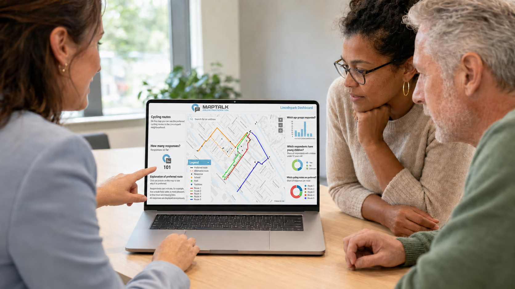
The same maps and questions can be shared online first and then used during a workshop or public meeting. With the MapTalk table, participants and project teams can review plans together and respond within the same participation environment, keeping contributions connected instead of spreading them across separate notes and spreadsheets.
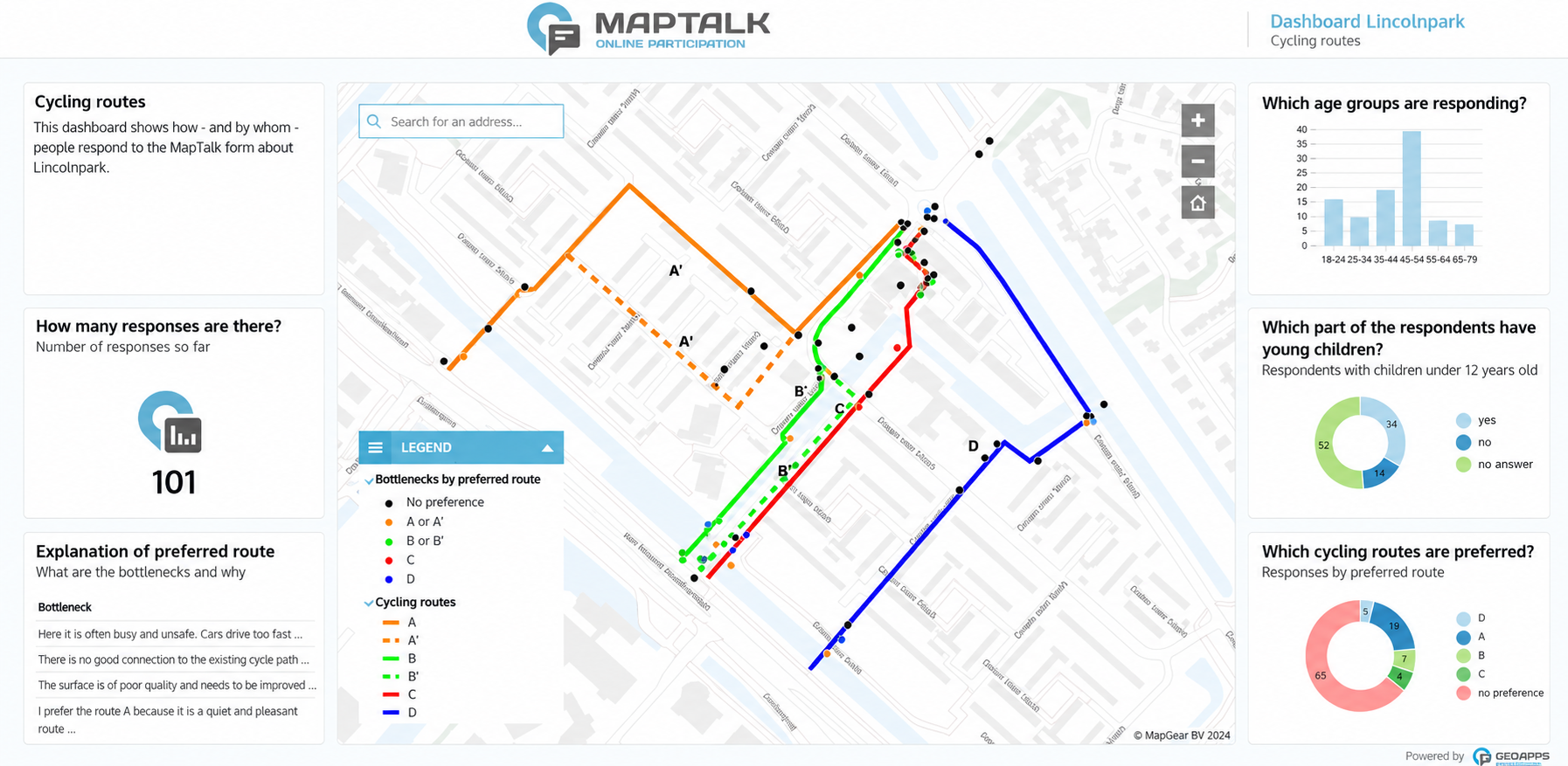
MapTalk supporting online and in-person public participation around spatial plans
Collecting input is the easy part. Making it useful is where the real work begins.
When a consultation closes, the project team still needs to turn individual responses into something that can inform the next step. That means reviewing recurring themes, identifying spatial concentrations and comparing differences between areas or participant groups.
Defining the assessment criteria in advance helps make that process more consistent. MapTalk provides maps, dashboards and export options that can support further analysis, reporting and decision-making.
Finally, participants should be told what happened with their input. Not every suggestion can be implemented, but organisations can explain which themes influenced the project and why certain ideas could or could not be taken forward. In this way, online participation becomes more than a digital consultation round. It becomes a structured process that connects local knowledge to spatial plans and better-informed decisions.
Turn participation into spatial insight your team can use.